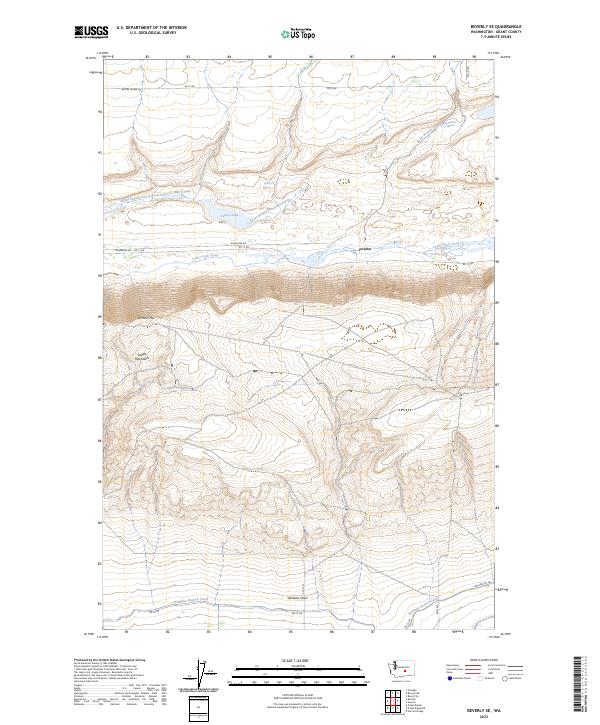
2023 Map of Beverly SE
USGS Topo · Published 2023About this map
Sentinel Mtn and the prominent ridgeline of the Saddle Mountains dominate this central Washington landscape, creating a dramatic topographical divide. This area in Grant County is defined by the managed water systems of the Columbia Basin Project, where the Royal Branch Canal Wasteway and Wahluke Branch Canal dictate the local ecology. The map reveals a mosaic of protected lands within the Columbia National Wildlife Refuge, interspersed with small water bodies such as Merry Lake and Lenice Lake.
Find a feature on this map
23 named features on this map. Tap any name to fly to it.
Don’t see what you’re looking for? This feature index may not catch every label — zoom into the map to look around manually.
Map Details
Editions of this 2023 Beverly SE Map
This is the sole edition of this map. No revisions or reprints were ever made.
Other maps of this area

1911 · Red Rock
USGS Topo · 1:62,500

1912 · Beverly
USGS Topo · 1:62,500

1916 · Coyote Rapids
USGS Topo · 1:62,500

1917 · Priest Rapids
USGS Topo · 1:62,500

1948 · Priest Rapids
USGS Topo · 1:24,000

1950 · Smyrna
USGS Topo · 1:62,500

1951 · Priest Rapids
USGS Topo · 1:62,500

1951 · Smyrna
USGS Topo · 1:62,500

1951 · Coyote Rapids
USGS Topo · 1:62,500

1953 · Walla Walla
USGS Topo · 1:250,000