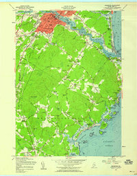
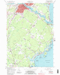
1956 Map of Biddeford
USGS Topo · Published 1958About this map
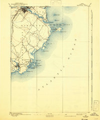
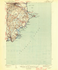
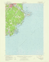
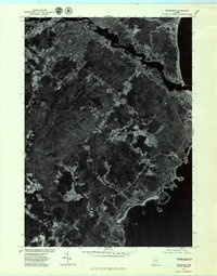
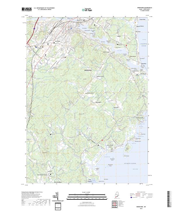
Biddeford serves as the industrial and social hub of this mid-century coastal landscape, dominated by its position along the Saco River. The 1950s urban core is densely developed with landmarks like Trull Hospital and several parochial institutions, including St Andre Sch and St Francis College. Beyond the city limits, the map reveals a collection of traditional crossroads such as Guinea Corner and Tea Kettle Corner, connected by a network of rural routes leading to the Atlantic shore. The coastline itself is defined by distinct summer colonies and geographic points, from the mouth of the river at Camp Ellis to the rocky outcrops of Fortunes Rocks and the crescent of Goose Rocks Beach. Inland, the path of the Maine Turnpike and the Boston and Maine Railroad illustrate the evolving transportation corridors that sustained the region's economy alongside local industries like the numerous Gravel Pits.
Find a feature on this map
129 named features on this map. Tap any name to fly to it.
Don’t see what you’re looking for? This feature index may not catch every label — zoom into the map to look around manually.
Map Details
Editions of this 1956 Biddeford Map
4 editions found
Historical Maps of Camp Ellis Through Time
8 maps found