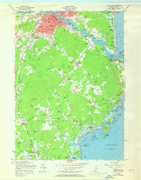
1956 Map of Biddeford
USGS Topo · Published 1971About this map
The Saco River serves as the industrial and geographic spine of this coastal Maine region, separating the cities of Saco and Biddeford. During the mid-1950s, the urban centers show dense development around the river's falls, supported by the Boston and Maine Railroad and the newly established Maine Turnpike. The map reveals a high concentration of institutional landmarks, from the Webber Hospital and Trull Hospital to educational sites like St Francis College and St Andre Sch.
Find a feature on this map
115 named features on this map. Tap any name to fly to it.
Don’t see what you’re looking for? This feature index may not catch every label — zoom into the map to look around manually.
Map Details
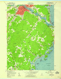
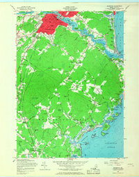
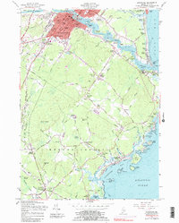
Editions of this 1956 Biddeford Map
4 editions found
Other maps of this area

1891 · Portland
USGS Topo · 1:62,500

1891 · Biddeford
USGS Topo · 1:62,500

1891 · Kennebunk
USGS Topo · 1:62,500

1891 · Buxton
USGS Topo · 1:62,500

1892 · Buxton
USGS Topo · 1:62,500

1893 · Kennebunk
USGS Topo · 1:62,500

1893 · Biddeford
USGS Topo · 1:62,500

1893 · Portland
USGS Topo · 1:62,500

1893 · Buxton
USGS Topo · 1:62,500

1898 · Kennebunk
USGS Topo · 1:62,500