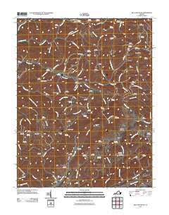
2011 Map of Big A Mountain
USGS Topo · Published 2011About this map
Big A Mountain anchors this portion of Russell County, marking a landscape defined by sharp ridges and deep creek hollows. The settlement pattern follows the drainage networks of Hurricane Creek, Ball Creek, and Thompson Creek, where small communities like Council, Venia, and Rasnake sit tucked between the high ground of Sandy Ridge and Fletcher Ridge. This topography created isolated pockets of settlement, evident in the high density of family burial grounds such as Stinson Cemetery, Lockhart Cemetery, and McGlothlin Cemetery that dot the hillsides near nearly every major branch.
Find a feature on this map
105 named features on this map. Tap any name to fly to it.
Don’t see what you’re looking for? This feature index may not catch every label — zoom into the map to look around manually.
Map Details
Editions of this 2011 Big A Mountain Map
This is the sole edition of this map. No revisions or reprints were ever made.
Other maps of this area

1886 · Grundy
USGS Topo · 1:125,000

1890 · Grundy
USGS Topo · 1:125,000

1891 · Tazewell
USGS Topo · 1:125,000

1891 · Abingdon
USGS Topo · 1:125,000

1892 · Grundy
USGS Topo · 1:125,000

1894 · Abingdon
USGS Topo · 1:125,000

1895 · Tazewell
USGS Topo · 1:125,000

1897 · Tazewell
USGS Topo · 1:125,000

1897 · Bristol
USGS Topo · 1:125,000

1902 · Bristol
USGS Topo · 1:125,000