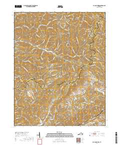
2019 Map of Big A Mountain
USGS Topo · Published 2019About this map
Council and Venia are the primary settlements in this portion of the Appalachian Highlands, situated where the Buchanan and Russell county lines meet. The terrain is defined by a dense network of ridges and hollows, most notably Big A Mtn and the Tennessee Valley Divide, which separates the local drainage systems. The map reveals a deeply entrenched rural community structure, characterized by dozens of family-named burial grounds including the Logan Wallace Jackson Cem, Martin Cem, and Lockhart Chapel Cem.
Find a feature on this map
146 named features on this map. Tap any name to fly to it.
Don’t see what you’re looking for? This feature index may not catch every label — zoom into the map to look around manually.
Map Details
Editions of this 2019 Big A Mountain Map
This is the sole edition of this map. No revisions or reprints were ever made.
Other maps of this area

1886 · Grundy
USGS Topo · 1:125,000

1890 · Grundy
USGS Topo · 1:125,000

1891 · Tazewell
USGS Topo · 1:125,000

1891 · Abingdon
USGS Topo · 1:125,000

1892 · Grundy
USGS Topo · 1:125,000

1894 · Abingdon
USGS Topo · 1:125,000

1895 · Tazewell
USGS Topo · 1:125,000

1897 · Tazewell
USGS Topo · 1:125,000

1897 · Bristol
USGS Topo · 1:125,000

1902 · Bristol
USGS Topo · 1:125,000