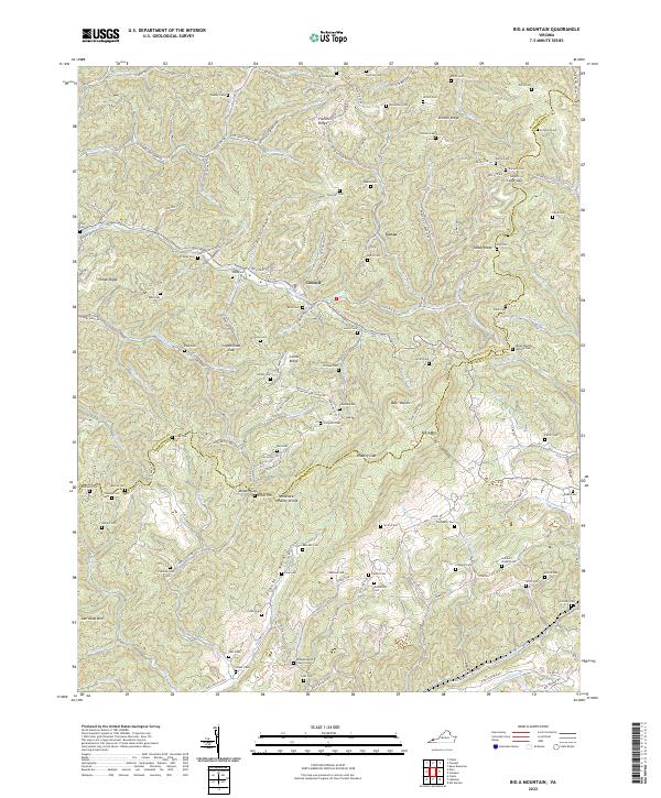
2022 Map of Big A Mountain
USGS Topo · Published 2022About this map
Big A Mtn and the Tennessee Valley Divide define the high-relief landscape of this Appalachian region, where the border of Buchanan and Russell counties follows the primary ridgelines. The map reveals a dense network of family-named cemeteries and small hollows, indicative of the persistent kin-based settlement patterns characteristic of the Virginia coalfields. Communities like Council and Venia are connected by winding routes such as State Rte 600, which navigate around prominent terrain features like Combs Ridge and Stinson Ridge.
Find a feature on this map
153 named features on this map. Tap any name to fly to it.
Don’t see what you’re looking for? This feature index may not catch every label — zoom into the map to look around manually.
Map Details
Editions of this 2022 Big A Mountain Map
This is the sole edition of this map. No revisions or reprints were ever made.
Other maps of this area

1886 · Grundy
USGS Topo · 1:125,000

1890 · Grundy
USGS Topo · 1:125,000

1891 · Tazewell
USGS Topo · 1:125,000

1891 · Abingdon
USGS Topo · 1:125,000

1892 · Grundy
USGS Topo · 1:125,000

1894 · Abingdon
USGS Topo · 1:125,000

1895 · Tazewell
USGS Topo · 1:125,000

1897 · Tazewell
USGS Topo · 1:125,000

1897 · Bristol
USGS Topo · 1:125,000

1902 · Bristol
USGS Topo · 1:125,000