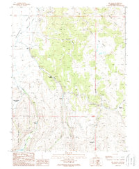
1989 Map of Big Alkali
USGS Topo · Published 1989About this map
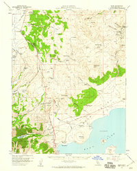
Dog Town (Site) marks a historical location in the high desert of Mono County, situated near the headwaters of Virginia Creek. This 1989 provisional survey captures a landscape defined by its thermal activity and mineral extraction, with numerous Prospect sites and geothermal features like the Travertine Quarry Hot Springs and The Hot Springs punctuating the terrain. The presence of Travertine Quarry and a Strip Mine near Cinnabar Canyon underscores the area's geological and industrial utility during the late twentieth century.
Find a feature on this map
32 named features on this map. Tap any name to fly to it.
Don’t see what you’re looking for? This feature index may not catch every label — zoom into the map to look around manually.
Map Details
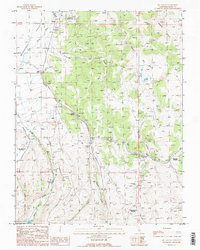
Editions of this 1989 Big Alkali Map
2 editions found
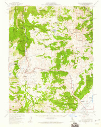
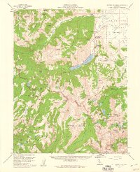
Other maps of this area

1909 · Bridgeport
USGS Topo · 1:125,000

1911 · Bridgeport
USGS Topo · 1:125,000

1920 · Bridgeport
USGS Topo · 1:125,000

1948 · Walker Lake
USGS Topo · 1:250,000
1956 · Fales Hot Springs
USGS Topo · 1:62,500
1956 · Matterhorn Peak
USGS Topo · 1:62,500

1957 · Walker Lake
USGS Topo · 1:250,000
1958 · Bodie
USGS Topo · 1:62,500
1958 · Bridgeport
USGS Topo · 1:62,500

1962 · Walker Lake
USGS Topo · 1:250,000