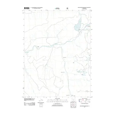
2011 Map of Big Beaver Reservoir
USGS Topo · Published 2011About this map
The White River flows through this Rio Blanco County landscape, serving as a central artery for local activity and irrigation. The presence of the White River Community House along County Rd 8 highlights a social focal point for the dispersed residents and ranching camps of the area. Water management is a defining characteristic of the region, evidenced by the infrastructure of Big Beaver Reservoir, held by the Big Beaver Dam, and the Mascott Ditch.
Find a feature on this map
38 named features on this map. Tap any name to fly to it.
Don’t see what you’re looking for? This feature index may not catch every label — zoom into the map to look around manually.
Map Details
Editions of this 2011 Big Beaver Reservoir Map
This is the sole edition of this map. No revisions or reprints were ever made.
Other maps of this area

1906 · Grand Hogback
USGS Topo · 1:125,000

1910 · Danforth Hills
USGS Topo · 1:125,000

1910 · Grand Hogback
USGS Topo · 1:125,000

1912 · Meeker
USGS Topo · 1:62,500

1914 · Meeker
USGS Topo · 1:62,500

1954 · Craig
USGS Topo · 1:250,000

1957 · Craig
USGS Topo · 1:250,000

1957 · Leadville
USGS Topo · 1:250,000

1958 · Craig
USGS Topo · 1:250,000

1959 · Leadville
USGS Topo · 1:250,000