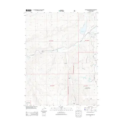
2013 Map of Big Beaver Reservoir
USGS Topo · Published 2013About this map
White River National Forest land defines this portion of Rio Blanco County, where the convergence of the N Fork White River and S Fork White River forms the headwaters of the White River. The landscape is a complex network of high-country water management and seasonal camps, anchored by the Big Beaver Reservoir and the Marcotte Ditch. Evidence of the region’s ranching and recreational history is visible in the placement of Russell Camp and North Elk Cow Camp, as well as the cluster of alpine lakes in the southeast including Seventh Lake, Beaver Lake, and Shadow Lake. Transport through the area relies on a mix of early routes like CO Road 8 and specialized access such as the Gilley Lake Trail 1233, reflecting a century of land use dedicated to resource management and forest service operations.
Find a feature on this map
42 named features on this map. Tap any name to fly to it.
Don’t see what you’re looking for? This feature index may not catch every label — zoom into the map to look around manually.
Map Details
Editions of this 2013 Big Beaver Reservoir Map
This is the sole edition of this map. No revisions or reprints were ever made.
Other maps of this area

1906 · Grand Hogback
USGS Topo · 1:125,000

1910 · Danforth Hills
USGS Topo · 1:125,000

1910 · Grand Hogback
USGS Topo · 1:125,000

1912 · Meeker
USGS Topo · 1:62,500

1914 · Meeker
USGS Topo · 1:62,500

1954 · Craig
USGS Topo · 1:250,000

1957 · Craig
USGS Topo · 1:250,000

1957 · Leadville
USGS Topo · 1:250,000

1958 · Craig
USGS Topo · 1:250,000

1959 · Leadville
USGS Topo · 1:250,000