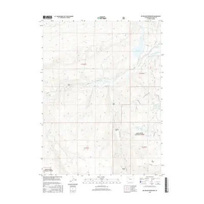
2016 Map of Big Beaver Reservoir
USGS Topo · Published 2016About this map
The White River carves a deep valley through this portion of Rio Blanco County, where the confluence of the North Fork White River and South Fork White River anchors a complex drainage network. The landscape is defined by its water management and high-altitude terrain, featuring the significant Big Beaver Reservoir and several smaller alpine bodies like Seventh Lake, Stump Lake, and Burro Mountain Lake. The presence of the Marcott Ditch illustrates the historical and ongoing importance of water diversion in this high-country environment.
Find a feature on this map
38 named features on this map. Tap any name to fly to it.
Don’t see what you’re looking for? This feature index may not catch every label — zoom into the map to look around manually.
Map Details
Editions of this 2016 Big Beaver Reservoir Map
This is the sole edition of this map. No revisions or reprints were ever made.
Other maps of this area

1906 · Grand Hogback
USGS Topo · 1:125,000

1910 · Danforth Hills
USGS Topo · 1:125,000

1910 · Grand Hogback
USGS Topo · 1:125,000

1912 · Meeker
USGS Topo · 1:62,500

1914 · Meeker
USGS Topo · 1:62,500

1954 · Craig
USGS Topo · 1:250,000

1957 · Craig
USGS Topo · 1:250,000

1957 · Leadville
USGS Topo · 1:250,000

1958 · Craig
USGS Topo · 1:250,000

1959 · Leadville
USGS Topo · 1:250,000