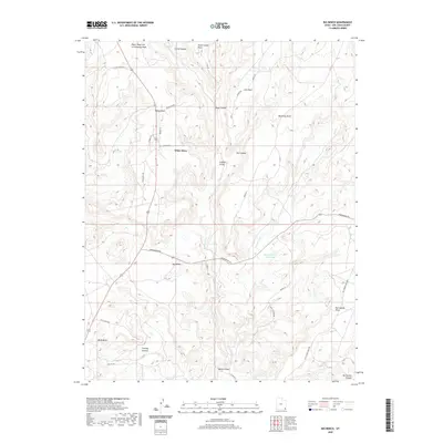
2020 Map of Big Bench
USGS Topo · Published 2020About this map
White Mesa stands at the heart of this high-desert landscape, where the plateau is deeply dissected by a network of drainage systems including Recapture Cr and Horse Creek. The map documents a sparsely populated region characterized by dramatic landforms such as Big Bench, McCracken Mesa, and Bluff Bench. These elevated features are separated by significant relief, notably the depths of Horse Canyon and Ute Canyon. Settlement is concentrated at White Mesa and the nearby Fiddlers Green, connected by a grid of rural and tribal roads like Indian Rte 404 and Hovenweep Rd. Water management in this arid environment is evidenced by the Horse Canyon Reservoir, while family-named landmarks such as Cowboy Pasture and Shumway Point reflect the ranching history of San Juan County.
Find a feature on this map
37 named features on this map. Tap any name to fly to it.
Don’t see what you’re looking for? This feature index may not catch every label — zoom into the map to look around manually.
Map Details
Editions of this 2020 Big Bench Map
This is the sole edition of this map. No revisions or reprints were ever made.
Other maps of this area

1886 · Abajo
USGS Topo · 1:250,000

1892 · Abajo
USGS Topo · 1:250,000

1893 · Abajo
USGS Topo · 1:250,000

1935 · Elk Ridge
USGS Topo · 1:96,000

1940 · Elk Ridge
USGS Topo · 1:125,000

1955 · Verdure 3 SE
USGS Topo · 1:24,000

1956 · Cortez
USGS Topo · 1:250,000

1957 · Elk Ridge 4 SE
USGS Topo · 1:24,000

1957 · Brushy Basin Wash
USGS Topo · 1:62,500

1957 · Blanding
USGS Topo · 1:62,500