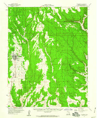
1957 Map of Blanding
USGS Topo · Published 1960About this map
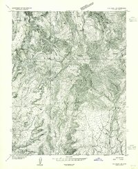
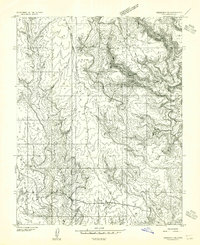
Blanding serves as the central hub for this high-desert plateau, mapped by the United States Atomic Energy Commission and the USGS during a period of significant regional interest. The town layout is characterized by its organized grid, including local amenities like a Race Track and a Drive-in Theater just north of the Cemetery. The landscape to the east is defined by a series of deep, parallel drainage systems, including Bradford Canyon, Deadman Canyon, and Cave Canyon, which flow toward the prominent Montezuma Canyon.
Find a feature on this map
58 named features on this map. Tap any name to fly to it.
Don’t see what you’re looking for? This feature index may not catch every label — zoom into the map to look around manually.
Map Details
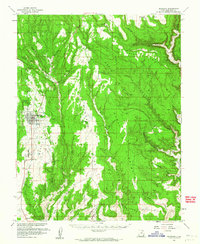
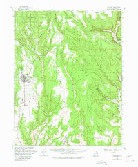
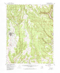
Editions of this 1957 Blanding Map
4 editions found
Other maps of this area

1886 · Abajo
USGS Topo · 1:250,000

1892 · Abajo
USGS Topo · 1:250,000

1893 · Abajo
USGS Topo · 1:250,000

1935 · Elk Ridge
USGS Topo · 1:96,000

1940 · Elk Ridge
USGS Topo · 1:125,000
1954 · Elk Ridge 1 SE
USGS Topo · 1:24,000
1954 · Mt Linnaeus
USGS Topo · 1:62,500
1955 · Verdure 4 NW
USGS Topo · 1:24,000
1955 · Verdure 2 SE
USGS Topo · 1:24,000
1955 · Verdure 3 SE
USGS Topo · 1:24,000