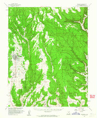
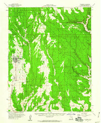
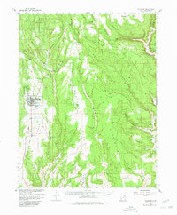
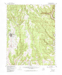
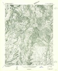
1957 Map of Blanding
USGS Topo · Published 1964About this map
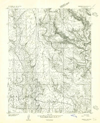
Blanding serves as the primary hub of this high desert landscape, appearing in the 1950s with a mix of mid-century infrastructure and ancient archaeological sites. The town site includes a Cemetery, Drive-in Theater, and a Landing Strip, reflecting post-war expansion. This survey was notably produced with cooperation from the Atomic Energy Commission, a detail that mirrors the region's mid-century uranium and resource prospecting, evidenced by a Prospect and an Oil Well near the town center.
Find a feature on this map
47 named features on this map. Tap any name to fly to it.
Don’t see what you’re looking for? This feature index may not catch every label — zoom into the map to look around manually.
Map Details
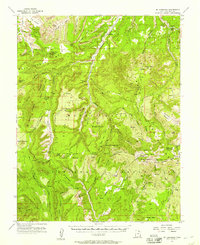
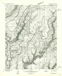
Editions of this 1957 Blanding Map
4 editions found
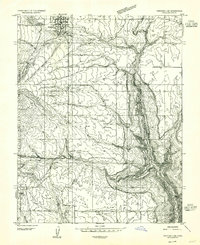
Other maps of this area

1886 · Abajo
USGS Topo · 1:250,000

1892 · Abajo
USGS Topo · 1:250,000

1893 · Abajo
USGS Topo · 1:250,000

1935 · Elk Ridge
USGS Topo · 1:96,000

1940 · Elk Ridge
USGS Topo · 1:125,000
1954 · Elk Ridge 1 SE
USGS Topo · 1:24,000
1954 · Mt Linnaeus
USGS Topo · 1:62,500
1955 · Verdure 4 NW
USGS Topo · 1:24,000
1955 · Verdure 2 SE
USGS Topo · 1:24,000
1955 · Verdure 3 SE
USGS Topo · 1:24,000