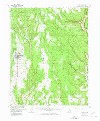
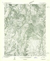
1957 Map of Blanding
USGS Topo · Published 1980About this map
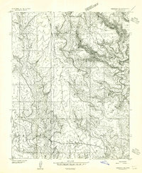
Blanding serves as the central hub of this mid-century survey, surrounded by the high plateau of White Mesa and the drainage networks of Recapture Creek and Montezuma Canyon. The landscape is a mix of agricultural utility and ancient history, featuring modern additions like the Drive-in Theater and Landing Strip alongside numerous archaeological markers including Petroglyphs and Cliff Dwellings. In the northern reaches, the Manti La Sal National Forest gives way to expansive flats and family-named landmarks like the LC Ranch.
Find a feature on this map
45 named features on this map. Tap any name to fly to it.
Don’t see what you’re looking for? This feature index may not catch every label — zoom into the map to look around manually.
Map Details
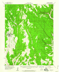
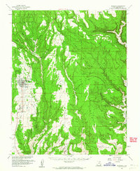
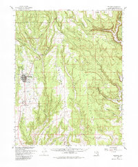
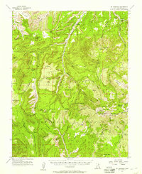
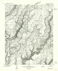
Editions of this 1957 Blanding Map
4 editions found
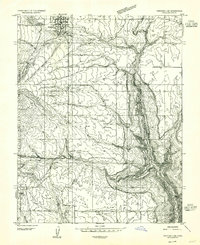
Other maps of this area

1886 · Abajo
USGS Topo · 1:250,000

1892 · Abajo
USGS Topo · 1:250,000

1893 · Abajo
USGS Topo · 1:250,000

1935 · Elk Ridge
USGS Topo · 1:96,000

1940 · Elk Ridge
USGS Topo · 1:125,000
1954 · Elk Ridge 1 SE
USGS Topo · 1:24,000
1954 · Mt Linnaeus
USGS Topo · 1:62,500
1955 · Verdure 4 NW
USGS Topo · 1:24,000
1955 · Verdure 2 SE
USGS Topo · 1:24,000
1955 · Verdure 3 SE
USGS Topo · 1:24,000