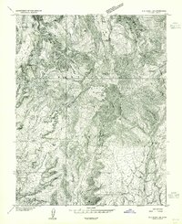
1957 Map of Blanding
USGS Topo · Published 1985About this map
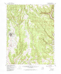
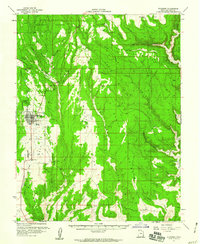
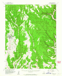
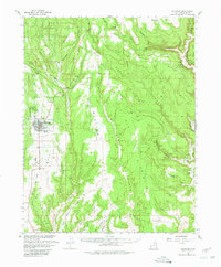
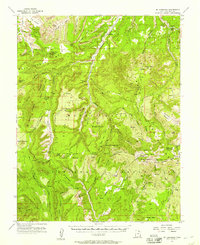
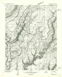
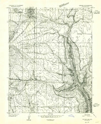
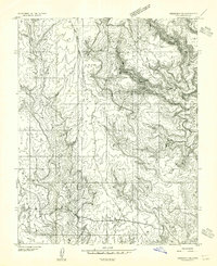
Blanding serves as the primary hub on this mid-century survey, situated on the edge of the high desert plateaus of San Juan County. This map, produced in cooperation with the Atomic Energy Commission, illustrates a landscape where modern development and ancient history overlap. While the town center features contemporary markers like a Drive-in Theater, Race Track, and Sewage Disposal plant, the surrounding canyons are steeped in the prehistoric past.
Find a feature on this map
45 named features on this map. Tap any name to fly to it.
Don’t see what you’re looking for? This feature index may not catch every label — zoom into the map to look around manually.
Map Details
Editions of this 1957 Blanding Map
4 editions found
Other maps of this area

1886 · Abajo
USGS Topo · 1:250,000

1892 · Abajo
USGS Topo · 1:250,000

1893 · Abajo
USGS Topo · 1:250,000

1935 · Elk Ridge
USGS Topo · 1:96,000

1940 · Elk Ridge
USGS Topo · 1:125,000
1954 · Elk Ridge 1 SE
USGS Topo · 1:24,000
1954 · Mt Linnaeus
USGS Topo · 1:62,500
1955 · Verdure 4 NW
USGS Topo · 1:24,000
1955 · Verdure 2 SE
USGS Topo · 1:24,000
1955 · Verdure 3 SE
USGS Topo · 1:24,000