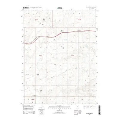
2014 Map of Big Bend Draw
USGS Topo · Published 2014About this map
San Rafael Swell dominates this portion of Emery County, where a complex network of dry washes and canyons defines the desert geography. The map illustrates a landscape of seasonal water sources and named landmarks such as Whiskey Wash, Sand Bench, and Tea Brush Flat. High-clearance routes like Co Road 923 provide access across the arid terrain, connecting remote points such as Lone Tree Wedge and Cat Canyon.
Find a feature on this map
32 named features on this map. Tap any name to fly to it.
Don’t see what you’re looking for? This feature index may not catch every label — zoom into the map to look around manually.
Map Details
Editions of this 2014 Big Bend Draw Map
This is the sole edition of this map. No revisions or reprints were ever made.
Other maps of this area

1885 · San Rafael
USGS Topo · 1:250,000

1885 · Fish Lake
USGS Topo · 1:250,000

1896 · Fish Lake
USGS Topo · 1:250,000

1952 · Wild Horse
USGS Topo · 1:62,500

1952 · San Rafael Knob
USGS Topo · 1:62,500

1953 · Emery 4 NE
USGS Topo · 1:24,000

1953 · Emery 1 NE
USGS Topo · 1:24,000

1953 · Emery 1 SE
USGS Topo · 1:24,000

1954 · Stinking Spring Creek 3 NW
USGS Topo · 1:24,000

1954 · Stinking Spring Creek 2 SW
USGS Topo · 1:24,000