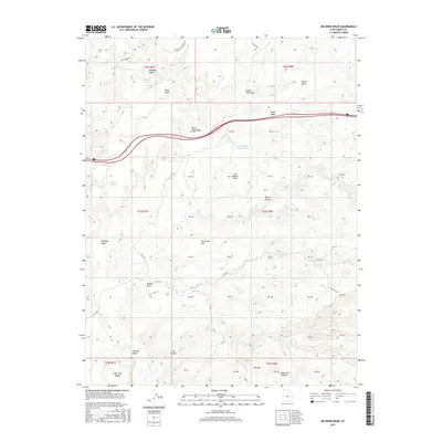
2017 Map of Big Bend Draw
USGS Topo · Published 2017About this map
The San Rafael Swell dominates this portion of Emery County, defining a landscape shaped by drainage systems like Whiskey Wash and Bitter Seep Wash. In this high desert terrain, water sources were critical for survival and travel, marked here by Devils Canyon Spring, Upper Kimball Seep, and Lower Kimball Seep. These vital points, along with livestock-related features like Chris Pond and Clyde and Neils Pond, highlight the intersection of natural geology and human land use in a region primarily defined by its topographic extremes.
Find a feature on this map
55 named features on this map. Tap any name to fly to it.
Don’t see what you’re looking for? This feature index may not catch every label — zoom into the map to look around manually.
Map Details
Editions of this 2017 Big Bend Draw Map
This is the sole edition of this map. No revisions or reprints were ever made.
Other maps of this area

1885 · San Rafael
USGS Topo · 1:250,000

1885 · Fish Lake
USGS Topo · 1:250,000

1896 · Fish Lake
USGS Topo · 1:250,000

1952 · Wild Horse
USGS Topo · 1:62,500

1952 · San Rafael Knob
USGS Topo · 1:62,500

1953 · Emery 4 NE
USGS Topo · 1:24,000

1953 · Emery 1 NE
USGS Topo · 1:24,000

1953 · Emery 1 SE
USGS Topo · 1:24,000

1954 · Stinking Spring Creek 3 NW
USGS Topo · 1:24,000

1954 · Stinking Spring Creek 2 SW
USGS Topo · 1:24,000