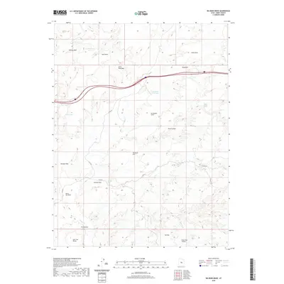
2020 Map of Big Bend Draw
USGS Topo · Published 2020About this map
The San Rafael Swell dominates this section of the Utah desert, where deep drainage systems like Devils Canyon and Dizzy Trail Canyon cut through a landscape defined by dramatic geological shifts. In this arid environment, the presence of rare water sources such as Upper Kimball Seep and Devils Canyon Spring provided vital landmarks for those traversing the high plateaus and washes. The map records a complex network of ephemeral watercourses including Whiskey Wash, Mulligan Wash, and the winding path of Muddy Cr. Transport in the modern era is marked by the path of Interstate 70 cutting across the northern reaches, while older routes like The Dizzy Trl follow the natural contours of the land near The Dike. Distinctive terrain features such as The Big Bend and the Lone Tree Wedge highlight the erosional patterns of the Kimball Draw area.
Find a feature on this map
27 named features on this map. Tap any name to fly to it.
Don’t see what you’re looking for? This feature index may not catch every label — zoom into the map to look around manually.
Map Details
Editions of this 2020 Big Bend Draw Map
This is the sole edition of this map. No revisions or reprints were ever made.
Other maps of this area

1885 · San Rafael
USGS Topo · 1:250,000

1885 · Fish Lake
USGS Topo · 1:250,000

1896 · Fish Lake
USGS Topo · 1:250,000

1952 · Wild Horse
USGS Topo · 1:62,500

1952 · San Rafael Knob
USGS Topo · 1:62,500

1953 · Emery 4 NE
USGS Topo · 1:24,000

1953 · Emery 1 NE
USGS Topo · 1:24,000

1953 · Emery 1 SE
USGS Topo · 1:24,000

1954 · Stinking Spring Creek 3 NW
USGS Topo · 1:24,000

1954 · Stinking Spring Creek 2 SW
USGS Topo · 1:24,000