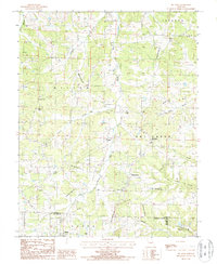
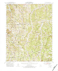
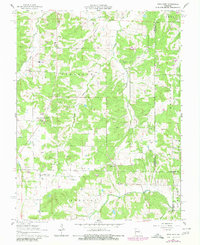
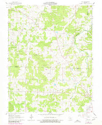
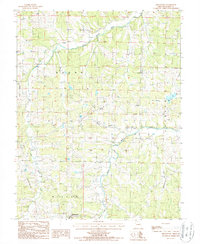
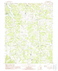
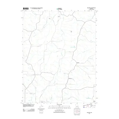
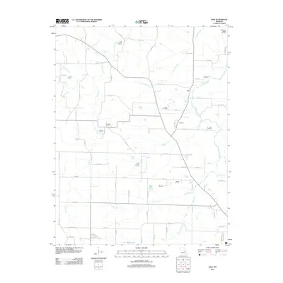
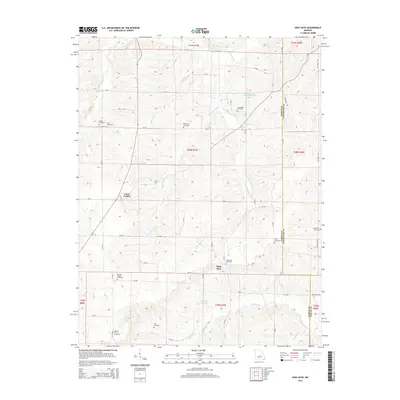
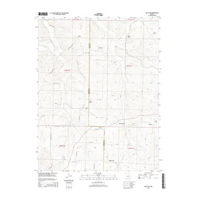
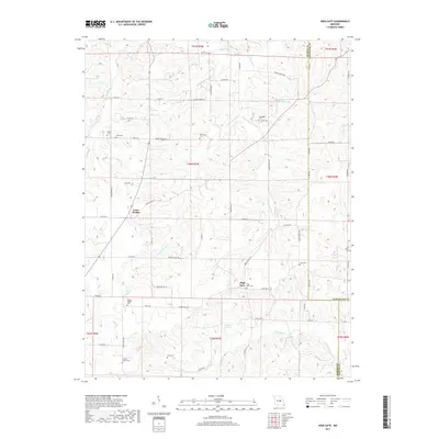
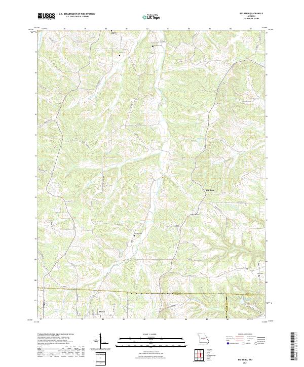
1987 Map of Big Bend
USGS Topo · Published 1987About this map
The Maries River winds through this Ozark landscape, carving a distinctive oxbow at Big Bend that gives this quadrangle its name. In the late 1980s, the area remained largely rural, defined by a network of creeks and hollows including Rodgers Creek, Prairie Creek, and the drainage of Clifty Hollow. The southern edge of the survey captures the northern outskirts of Dixon, featuring a Sewage Disposal Plant and a nearby Golf Course, illustrating the community's mid-century expansion into Union township.
Find a feature on this map
29 named features on this map. Tap any name to fly to it.
Don’t see what you’re looking for? This feature index may not catch every label — zoom into the map to look around manually.
Map Details
Editions of this 1987 Big Bend Map
This is the sole edition of this map. No revisions or reprints were ever made.
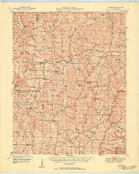
Historical Maps of Dixon Through Time
42 maps found
1948 Tavern
Maries County, MO
1950 Tavern
Maries County, MO
1962 High Gate
Maries County, MO
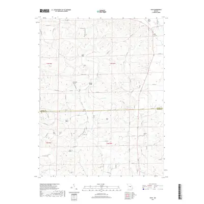
1962 Safe
Maries County, MO
1980 Nagogami Lodge
Maries County, MO
1980 Vichy
Maries County, MO
1981 Paydown
Maries County, MO
1987 Big Bend
Maries County, MO
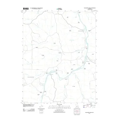
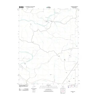
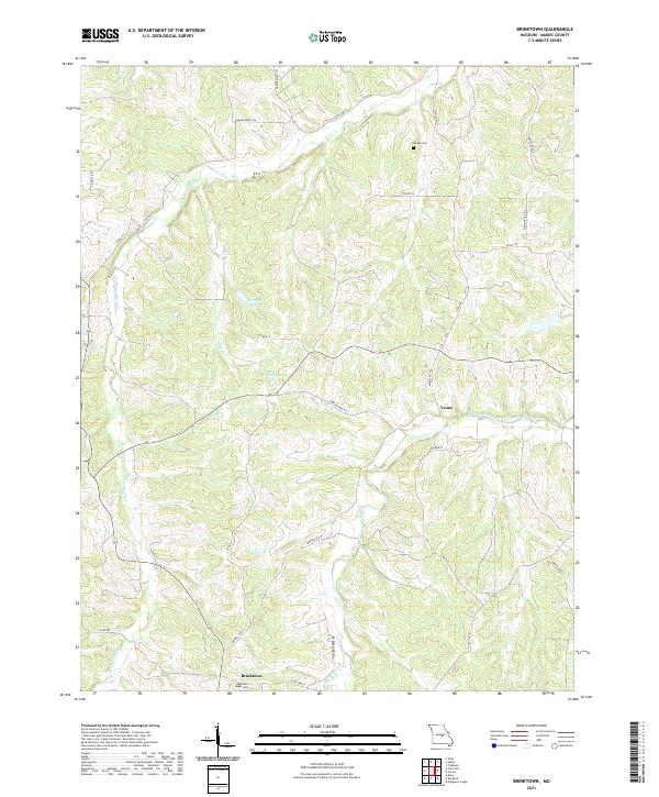
1987 Brinktown
Maries County, MO
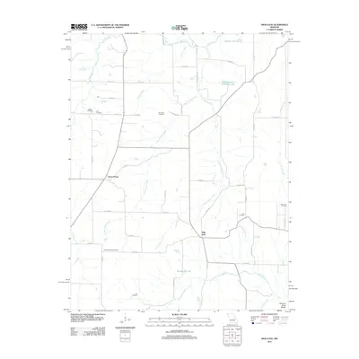
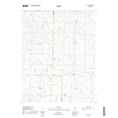
1987 Van Cleve
Maries County, MO
2011 Brinktown
Maries County, MO
2011 Van Cleve
Maries County, MO
2012 Big Bend
Maries County, MO
2012 High Gate
Maries County, MO
2012 Nagogami Lodge
Maries County, MO
2012 Paydown
Maries County, MO
2012 Safe
Maries County, MO
2012 Vichy
Maries County, MO
2015 Big Bend
Maries County, MO
2015 Brinktown
Maries County, MO
2015 High Gate
Maries County, MO
2015 Nagogami Lodge
Maries County, MO
2015 Paydown
Maries County, MO
2015 Safe
Maries County, MO
2015 Van Cleve
Maries County, MO
2015 Vichy
Maries County, MO
2017 Big Bend
Maries County, MO
2017 Brinktown
Maries County, MO
2017 High Gate
Maries County, MO
2017 Nagogami Lodge
Maries County, MO
2017 Paydown
Maries County, MO
2017 Safe
Maries County, MO
2017 Van Cleve
Maries County, MO
2017 Vichy
Maries County, MO
2021 Big Bend
Maries County, MO
2021 Brinktown
Maries County, MO
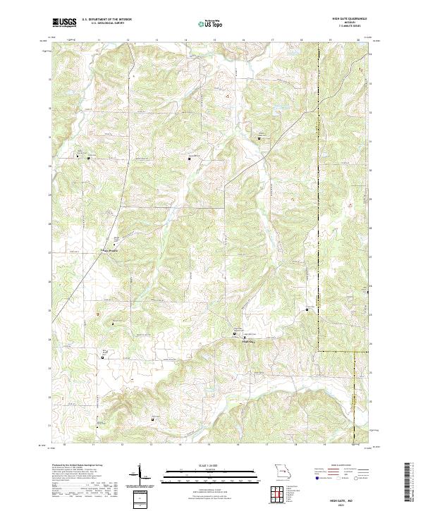
2021 High Gate
Maries County, MO
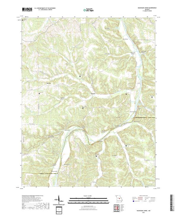
2021 Nagogami Lodge
Maries County, MO
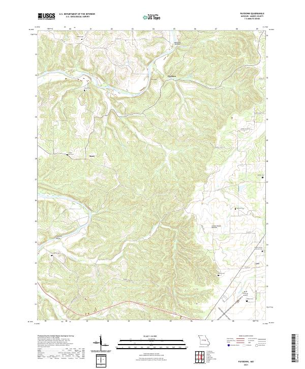
2021 Paydown
Maries County, MO
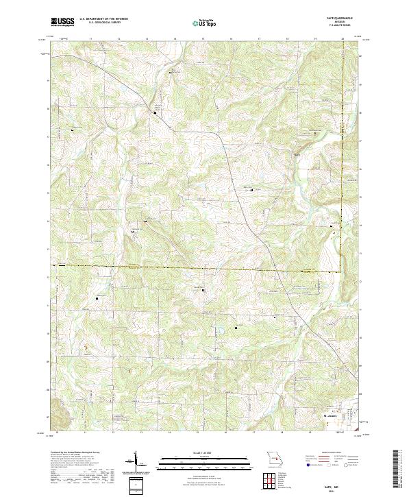
2021 Safe
Maries County, MO
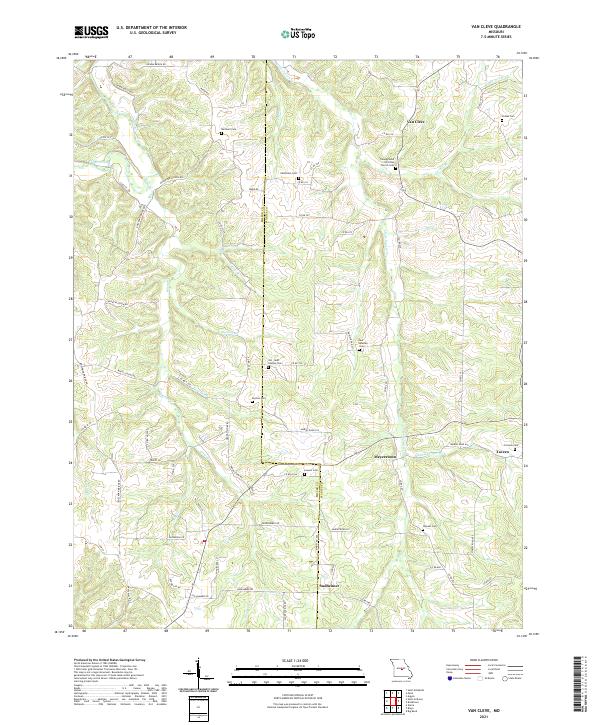
2021 Van Cleve
Maries County, MO
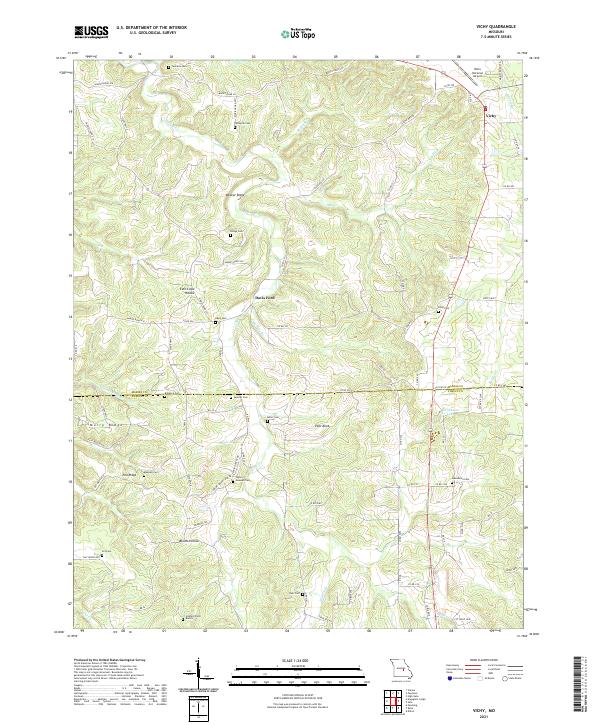
2021 Vichy
Maries County, MO