
1948 Map of Big Bend Mtn
USGS Topo · Published 1953About this map
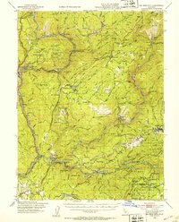
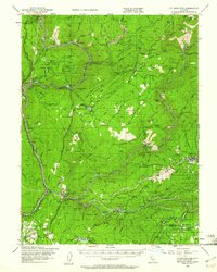
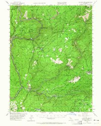
The North Fork Feather River and its major tributaries define this rugged portion of northern California, captured just before the landscape was fundamentally altered by modern dam construction. At this mid-century moment, historic mining settlements like Forbestown and Old Forbestown remain central to the region's character, connected by primitive mountain roads and the Western Pacific Railroad which winds through the canyons. The map documents an economy rooted in extraction and timber, evidenced by the Gold Bank Mine and Midas Mine, alongside scattered homesteads such as Rose Ranch and Hinton Ranch. Of particular note for local historians is the Indian Cemetery located near the Middle Fork Feather River and the site of Bidwell Bar, a famous gold-rush era river crossing. The elevation changes are dramatic, rising from the river canyons to landmarks like Stringtown Mtn and the sheer drop of Feather Falls.
Find a feature on this map
118 named features on this map. Tap any name to fly to it.
Don’t see what you’re looking for? This feature index may not catch every label — zoom into the map to look around manually.
Map Details
Editions of this 1948 Big Bend Mtn Map
4 editions found
Other maps of this area

1888 · Marysville
USGS Topo · 1:125,000

1888 · Smartsville
USGS Topo · 1:125,000

1888 · Bidwell Bar
USGS Topo · 1:125,000

1891 · Bidwell Bar
USGS Topo · 1:125,000

1891 · Chico
USGS Topo · 1:125,000

1891 · Marysville
USGS Topo · 1:125,000

1891 · Smartsville
USGS Topo · 1:125,000

1892 · Smartsville
USGS Topo · 1:125,000

1893 · Chico
USGS Topo · 1:125,000

1893 · Bidwell Bar
USGS Topo · 1:125,000