Old Maps of Brush Creek, California
Explore 18 old maps of Brush Creek, spanning from 1888 to today. These high-resolution historic maps reveal how streets, neighborhoods, landmarks, and natural features evolved over time — perfect for genealogy, metal detecting, research, and local history exploration.
What you can do with these maps:
- See how Brush Creek changed over time: Compare historical maps to modern-day views to trace roads, homesites, rail lines & more.
- View detailed metadata: Each map includes creators, publishers, year, scale, and archive source.
- Overlay maps with satellite & LiDAR: Visualize the past alongside modern tools to explore terrain & human change.
- Trusted historical sources: Maps sourced from the USGS, Library of Congress, and other archives.
- Access maps your way: View online, download high-res files, or order prints for personal or research use.
Start exploring old maps of Brush Creek to uncover forgotten places, hidden landmarks, and the deep history beneath your feet.
Brush Creek, CA maps
(18)- 1888 Map of Bidwell Bar, 1956 Print
 1888 Bidwell Bar1956 Print · USGSThe northern Sierra foothills and Feather River canyons come alive in the late nineteenth century before modern reservoirs altered the landscape. Genealogists and researchers can trace family-named sites like Fields Ranch, Spanish Ranch, and Snows Mine.
 - 1891 Map of Bidwell Bar
 1891 Bidwell Bar1891 Print · USGSThe gold-country ridges and deep river canyons of the northern Sierras are shown in the late nineteenth century as mining and timber production shaped the land. Researchers can trace early family-named waystations and industrial sites like American House, Bidwell Bar, and Clipper Mill.
 - 1893 Map of Bidwell Bar
 1893 Bidwell Bar1893 Print · USGSThe Plumas mountains during the late nineteenth century show a landscape defined by gold-era mining and remote stage stops. Genealogists and historians can locate early homesteads and industrial sites like Snows Mine, American House, and Bidwell Bar.
 - 1895 Map of Bidwell Bar
 1895 Bidwell Bar1895 Print · USGSThe Sierra foothills and high ridges of Northern California are captured here in the late nineteenth century. Genealogists and historians can trace isolated waystations and timber camps like American House, Spanish Ranch, and the Old Defiance Mill.
 - 1897 Map of Bidwell Bar
 1897 Bidwell Bar1897 Print · USGSThe Sierra Nevada foothills and river canyons come alive in the 1890s as a landscape of remote mines and mountain ranching. Genealogists can trace early homesteads and social hubs like Spanish Ranch, Forbestown, and Old Defiance Mill.7 unique versions available
 - 1947 Map of Brush Creek, 1963 Print
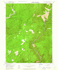 1947 Brush Creek1963 Print · USGSButte County ranching and river life are captured here in the late 1940s as small settlements and family ranches dot the high timber country. Researchers can trace historic river bars like Evans Bar, the location of the Horseshoe Mine, and local landmarks like Sky High and Mountain House.
 - 1948 Map of Big Bend Mtn, 1953 Print
 1948 Big Bend Mtn1953 Print · USGSIn the Sierra Nevada foothills during the late 1940s, this area remained a landscape of deep river canyons and historic mining camps. Genealogists and researchers can trace the old settlements of Forbestown and Enterprise, find the Indian Cemetery, or locate the Gold Bank Mine.4 unique versions available
 - 1949 Map of Brush Creek
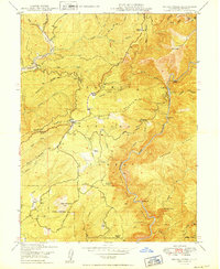 1949 Brush Creek1949 Print · USGSThe Butte County foothills appear in the late 1940s as a landscape of remote ranches and rugged river canyons. Researchers can trace family sites like Hinton Ranch or find the remote Sky High settlement and the Horseshoe Mine.2 unique versions available
 - 1956 Map of Brush Creek
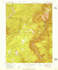 1956 Brush Creek1956 Print · USGSThe Plumas National Forest uplands in the mid-1950s offer a look at remote ranching and river activity. Trace early Butte County history through landmarks like Sky High, Feather Falls, and family outposts such as Zink Ranch and Andy Smith Ranch.
 - 1958 Map of Chico, 1962 Print
 1958 Chico1962 Print · USGSMid-century Northern California comes to life across the Central Valley and high Sierras as the postwar economy transformed the landscape. Trace the rail lines of the Southern Pacific RR, locate family roots near Chico Cem, or explore the early layout of Paradise and Beale Air Force Base.4 unique versions available
 - 1960 Map of Chico
 1960 Chico1960 Print · USGSThe Northern California high country and Sacramento Valley meet in this 1960s-era landscape of mining towns and river settlements. Trace the rail-and-water economy of the gold country through the Empire Mine, Beale Air Force Base, and the Western Pacific Railroad.
 - 1970 Map of Brush Creek, 1973 Print
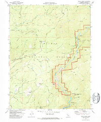 1970 Brush Creek1973 Print · USGSButte County's rugged foothills are captured here in the early seventies, showing the area as new water projects began to alter the landscape. Genealogists and hikers can trace the Oroville Quincy Road, locate the Berry Creek Rancheria, and find historic sites like Mountain House.2 unique versions available
 - 1980 Map of Chico
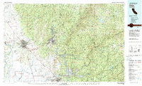 1980 Chico1980 Print · USGSButte County and the Sierra foothills are shown here in the 1980s as the region's water and timber economies matured. Genealogists and researchers can trace old land grants like Rancho Capay or locate mountain mining sites and settlements such as Cherokee, Magalia, and the Big Bend Mine.2 unique versions available
 - 1994 Map of Brush Creek, 1998 Print
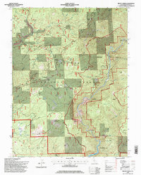 1994 Brush Creek1998 Print · USGSButte County in the mid-1990s shows a landscape of deep canyons and national forest management along the Middle Fork Feather River. Genealogists and hikers can trace historical sites like Junction House or navigate the path to Curtain Falls and the Big Bald Rock Trailhead.
 - 2012 Map of Brush Creek, 2012 Print
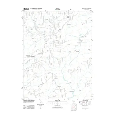 2012 Brush Creek2012 Print · USGSThe Butte County foothills and the Feather River canyon are shown in the early twenty-first century, before recent wildfires reshaped the landscape. Genealogy researchers can find family-named landmarks such as Seater Ranch, Zink Ranch, and the Watson Cabin.
 - 2015 Map of Brush Creek, 2015 Print
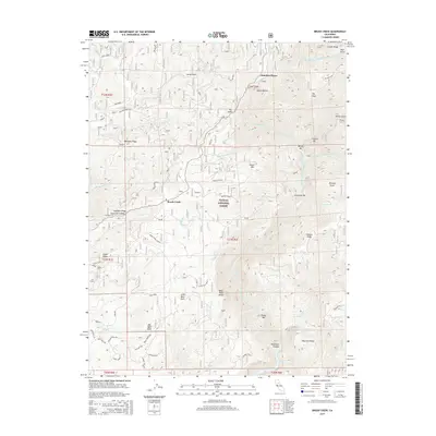 2015 Brush Creek2015 Print · USGSButte County's rugged canyon country is captured here during the mid-2010s, showing the intersection of the Middle Fork Feather River and high ridgelines. Researchers can trace forest access routes to remote landmarks like Bald Rock Dome, Feather Falls, and the old settlement site at Junction House.
 - 2018 Map of Brush Creek, 2018 Print
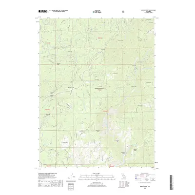 2018 Brush Creek2018 Print · USGSThe Butte County wilderness along the Middle Fork Feather River is captured here in the late twenty-teens. Researchers can trace historic river access at Milsap Bar and American Bar or locate family landmarks like the Johnson Ranch and Andy Smith Ranch.
 - 2022 Map of Brush Creek, 2022 Print
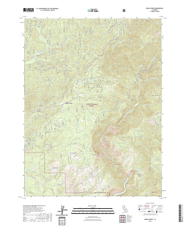 2022 Brush Creek2022 Print · USGSThe Plumas National Forest interior is documented in this contemporary survey, highlighting the dramatic descent into the Feather River canyon. Researchers can trace land markers from Bald Rock Dome to the river bars at Milsap Bar and Evans Bar.
End of results
Showing maps 1-18 of 18
Top cities near Brush Creek
Frequently asked questions
- What are the different types of historical maps available for Brush Creek?
- What is the oldest map of Brush Creek?
- Where can I purchase historical maps of Brush Creek for my home or office?
- Where can I download high-res historical maps of Brush Creek?
- Are there historical topographic maps available for Brush Creek?
- Is there historical aerial imagery available for Brush Creek?
- Where are historical maps of Brush Creek sourced from?