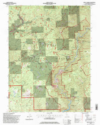
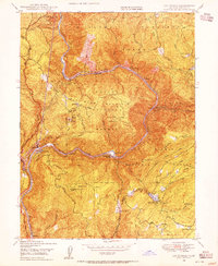
1994 Map of Brush Creek
USGS Topo · Published 1998About this map
Middle Fork Feather River carves a dramatic path through this section of the Plumas National Forest, anchoring a landscape defined by significant elevation changes and resource management. The 1994 data reflects a region where historical transit routes like the Oroville Quincy Highway and the Oroville Quincy Road meet forest service outposts such as the Brush Creek Administrative Site. Settlement traces appear at Junction House and Mountain House, while industrial activity is evidenced by tailings and a Gravel Pit near French Creek.
Find a feature on this map
68 named features on this map. Tap any name to fly to it.
Don’t see what you’re looking for? This feature index may not catch every label — zoom into the map to look around manually.
Map Details
Editions of this 1994 Brush Creek Map
This is the sole edition of this map. No revisions or reprints were ever made.
Other maps of this area

1888 · Bidwell Bar
USGS Topo · 1:125,000

1891 · Bidwell Bar
USGS Topo · 1:125,000

1893 · Bidwell Bar
USGS Topo · 1:125,000

1895 · Bidwell Bar
USGS Topo · 1:125,000

1897 · Bidwell Bar
USGS Topo · 1:125,000
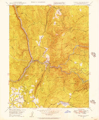
1947 · Bidwell Bar
USGS Topo · 1:24,000
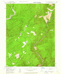
1947 · Brush Creek
USGS Topo · 1:24,000

1948 · Big Bend Mtn
USGS Topo · 1:62,500
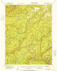
1948 · Mooreville Ridge
USGS Topo · 1:62,500
1948 · Las Plumas
USGS Topo · 1:24,000