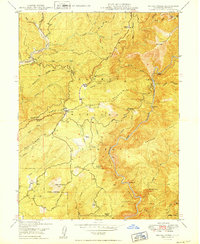
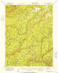
1949 Map of Brush Creek
USGS Topo · Published 1949About this map
Plumas National Forest dominates this landscape, where the Middle Fork and South Branch Feather River cut deep canyons through the Sierra Nevada foothills. The map reveals a post-war environment where remote ranching and early commerce centered around specific waypoints such as Junction House and Mountain House. Settlement patterns follow the high ridges, with Brush Creek serving as a localized hub featuring a Ranger Sta.
Find a feature on this map
105 named features on this map. Tap any name to fly to it.
Don’t see what you’re looking for? This feature index may not catch every label — zoom into the map to look around manually.
Map Details
Editions of this 1949 Brush Creek Map
2 editions found
Other maps of this area

1888 · Bidwell Bar
USGS Topo · 1:125,000

1891 · Bidwell Bar
USGS Topo · 1:125,000

1893 · Bidwell Bar
USGS Topo · 1:125,000

1895 · Bidwell Bar
USGS Topo · 1:125,000

1897 · Bidwell Bar
USGS Topo · 1:125,000
1947 · Bidwell Bar
USGS Topo · 1:24,000
1947 · Brush Creek
USGS Topo · 1:24,000

1948 · Big Bend Mtn
USGS Topo · 1:62,500
1948 · Mooreville Ridge
USGS Topo · 1:62,500
1948 · Las Plumas
USGS Topo · 1:24,000