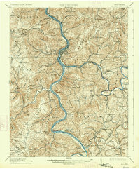
1914 Map of Big Bend
USGS Topo · Published 1934About this map
The New River and its confluence with the Greenbrier River define the geography of this pre-Depression survey, revealing a landscape deeply influenced by both water and rail. The town of Hinton serves as a central hub, adjacent to the vital Chesapeake and Ohio RR corridor that tunnels through the mountains at the Big Bend Tunnel. Transportation in this era relied on a network of water-level infrastructure and river crossings, including Haines Ferry and Packs Ferry. Local life is visible through the high density of small rural institutions, such as Madam Creek School, Rock Bottom School, and the Spiritual School. The map also captures several mineral springs and early settlements like Red Sulphur Springs and Bargers Springs, marking a period when these destinations were prominent local landmarks.
Find a feature on this map
139 named features on this map. Tap any name to fly to it.
Don’t see what you’re looking for? This feature index may not catch every label — zoom into the map to look around manually.
Map Details
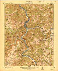
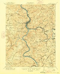
Editions of this 1914 Big Bend Map
4 editions found

Other maps of this area

1887 · Pocahontas
USGS Topo · 1:125,000

1887 · Hinton
USGS Topo · 1:125,000

1890 · Dublin
USGS Topo · 1:125,000

1891 · Pocahontas
USGS Topo · 1:125,000

1891 · Dublin
USGS Topo · 1:125,000

1891 · Raleigh
USGS Topo · 1:125,000

1892 · Hinton
USGS Topo · 1:125,000

1894 · Pocahontas
USGS Topo · 1:125,000

1895 · Pocahontas
USGS Topo · 1:125,000

1897 · Raleigh
USGS Topo · 1:125,000