Loading...
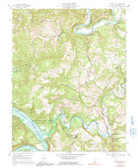
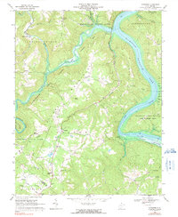
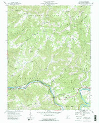
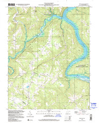
Loading map...1914 Map of Big Bend
USGS Topo · Published 1948About this map
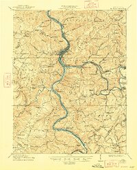
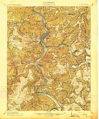
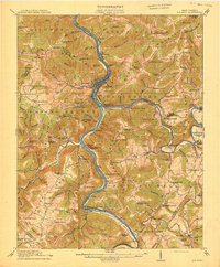
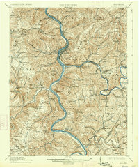
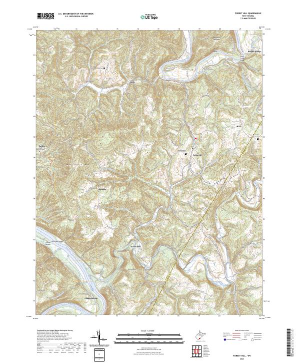
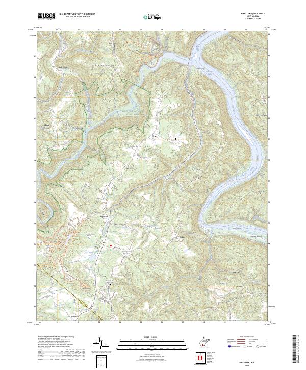
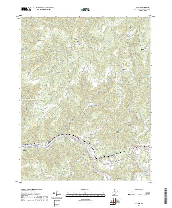
The confluence of the New River and the Bluestone River forms the geographic heart of this West Virginia landscape, where the Chesapeake and Ohio RR follows the river’s winding course. This era shows a dense network of mountain communities and remote outposts, including the regional hub of Hinton and the adjacent Avis and Bellepoint. The infrastructure of the early 20th century is evident in the engineering of the Big Bend Tunnel near Talcott and the presence of river-dependent points like Packs Ferry PO.
Find a feature on this map
142 named features on this map. Tap any name to fly to it.
Don’t see what you’re looking for? This feature index may not catch every label — zoom into the map to look around manually.
Map Details
Date Portrayed1914
Date Published1948
PublisherU.S. Geological Survey
Map TypeTopographic
Scale1:62,500
Physical Dimensions16.81 x 20.72 inches
Editions of this 1914 Big Bend Map
4 editions found
Historical Maps of Hinton Through Time
9 maps found

Featured Locations
Source Details
SourceU.S. Geological Survey
CopyrightPublic Domain