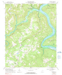
1968 Map of Pipestem
USGS Topo · Published 1991About this map
The New River and the Bluestone Lake reservoir dominate this West Virginia landscape, creating a dramatic corridor through Hunting Mountain and Greenbrier Mtn. This survey captures the region during a period of significant recreational development, with Bluestone State Park and Pipestem State Park spanning the terrain. The map records the cultural footprint of rural mountain life, marking small settlements like True and Farley, alongside several community landmarks such as James Chapel and Cooks Chapel.
Find a feature on this map
42 named features on this map. Tap any name to fly to it.
Don’t see what you’re looking for? This feature index may not catch every label — zoom into the map to look around manually.
Map Details
Editions of this 1968 Pipestem Map
2 editions found
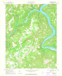
Other maps of this area

1887 · Pocahontas
USGS Topo · 1:125,000

1887 · Hinton
USGS Topo · 1:125,000

1890 · Dublin
USGS Topo · 1:125,000

1891 · Pocahontas
USGS Topo · 1:125,000

1891 · Dublin
USGS Topo · 1:125,000

1891 · Raleigh
USGS Topo · 1:125,000

1892 · Hinton
USGS Topo · 1:125,000

1894 · Pocahontas
USGS Topo · 1:125,000

1895 · Pocahontas
USGS Topo · 1:125,000

1897 · Raleigh
USGS Topo · 1:125,000