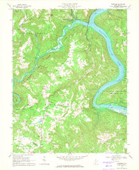
1968 Map of Pipestem
USGS Topo · Published 1971About this map
Bluestone Lake and the winding New River dominate this Appalachian landscape, where the Bluestone River carves deep through the surrounding ridges. Along the plateaus and hollows, small rural centers like Pipestem and True serve as focal points for local life, supported by community landmarks such as James Chapel and Cooks Chapel. The rugged topography is defined by prominent elevations like Davy Knob, Pipestem Knob, and the broad area of Crumps Bottom along the river's edge.
Find a feature on this map
47 named features on this map. Tap any name to fly to it.
Don’t see what you’re looking for? This feature index may not catch every label — zoom into the map to look around manually.
Map Details
Editions of this 1968 Pipestem Map
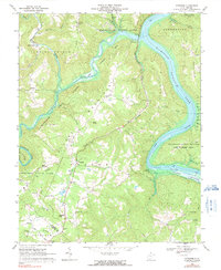
2 editions found
Other maps of this area

1887 · Pocahontas
USGS Topo · 1:125,000

1887 · Hinton
USGS Topo · 1:125,000

1890 · Dublin
USGS Topo · 1:125,000

1891 · Pocahontas
USGS Topo · 1:125,000

1891 · Dublin
USGS Topo · 1:125,000

1891 · Raleigh
USGS Topo · 1:125,000

1892 · Hinton
USGS Topo · 1:125,000

1894 · Pocahontas
USGS Topo · 1:125,000

1895 · Pocahontas
USGS Topo · 1:125,000

1897 · Raleigh
USGS Topo · 1:125,000