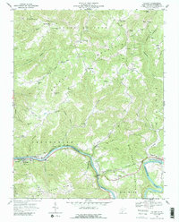
1968 Map of Talcott
USGS Topo · Published 1989About this map
The Greenbrier River carves a dramatic oxbow through the landscape of Summers County, defining the corridor for the Chesapeake and Ohio railroad. In the late 1960s, this area centered on the engineering feat of the Big Bend Tunnels near Talcott, a critical juncture for the rail line as it bypasses the massive river bend. The map illustrates a transition from the urbanized riverfronts of Hinton and Bellepoint, featuring a Hospital and Armory, to the high-elevation rural communities scattered across the surrounding summits.
Find a feature on this map
58 named features on this map. Tap any name to fly to it.
Don’t see what you’re looking for? This feature index may not catch every label — zoom into the map to look around manually.
Map Details
Editions of this 1968 Talcott Map
2 editions found
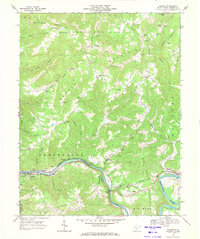
Other maps of this area

1887 · Hinton
USGS Topo · 1:125,000

1892 · Hinton
USGS Topo · 1:125,000

1912 · Meadow Creek
USGS Topo · 1:48,000

1912 · Big Bend
USGS Topo · 1:62,500

1914 · Big Bend
USGS Topo · 1:62,500

1915 · Meadow Creek
USGS Topo · 1:62,500

1921 · Alderson
USGS Topo · 1:48,000

1921 · Clintonville
USGS Topo · 1:48,000

1923 · Clintonville
USGS Topo · 1:62,500
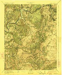
1923 · Alderson
USGS Topo · 1:62,500