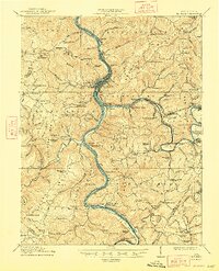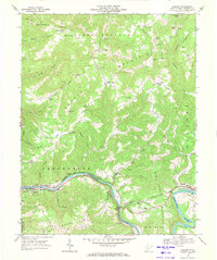
1968 Map of Talcott
USGS Topo · Published 1971About this map
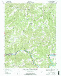
The Greenbrier River carves a dramatic path through the center of this terrain, anchored by the settlement of Talcott and the expansion of Hinton at the confluence of several major waterways. The Chesapeake and Ohio railroad corridor dictates the regional development, featuring infrastructure like the Little Bend Tunnel and the Wildwood Bridge to navigate the steep river valley. High-altitude rural life is evidenced by numerous mountain-top institutions, including the Chestnut Mountain School and Rock Bottom School, alongside several family-named landmarks like Shockley Hill Church and Keatley Springs Church. To the south, the Bluestone Public Hunting and Fishing Area borders the river, while the landscape rises toward Big Bend Mountain and Keeney Mountain. The map illustrates the 1960s balance between early industrial rail infrastructure and the isolated hilltop communities that defined the Summers County landscape.
Find a feature on this map
53 named features on this map. Tap any name to fly to it.
Don’t see what you’re looking for? This feature index may not catch every label — zoom into the map to look around manually.
Map Details
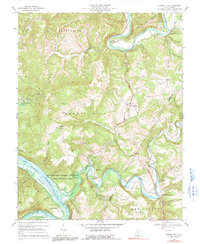
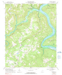
Editions of this 1968 Talcott Map
2 editions found
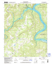
Historical Maps of Hinton Through Time
9 maps found