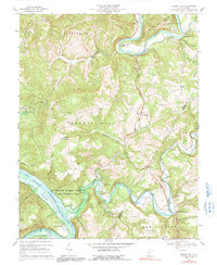
1968 Map of Forest Hill
USGS Topo · Published 1991About this map
Red Sulphur Springs and Indian Mills anchor this 1968 landscape where the Greenbrier River and New River converge. The topography is defined by the sharp ridges of Wolf Creek Mountain and Big Bend Mountain, with the low-lying Crumps Bottom showing the reach of the Bluestone Lake inundation area. This survey documents a rural community centered around agriculture and outdoor recreation, featuring numerous small congregations such as Fairview Ch, Mt Zion Ch, and Spring Run Ch.
Find a feature on this map
57 named features on this map. Tap any name to fly to it.
Don’t see what you’re looking for? This feature index may not catch every label — zoom into the map to look around manually.
Map Details
Editions of this 1968 Forest Hill Map
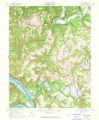
2 editions found
Other maps of this area

1887 · Hinton
USGS Topo · 1:125,000

1890 · Dublin
USGS Topo · 1:125,000

1891 · Dublin
USGS Topo · 1:125,000

1892 · Hinton
USGS Topo · 1:125,000

1912 · Big Bend
USGS Topo · 1:62,500

1913 · Peterstown
USGS Topo · 1:48,000

1914 · Big Bend
USGS Topo · 1:62,500

1916 · Peterstown
USGS Topo · 1:62,500

1921 · Alderson
USGS Topo · 1:48,000

1923 · Pearisburg
USGS Topo · 1:62,500