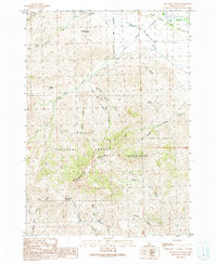
1991 Map of Big Blind Canyon
USGS Topo · Published 1991About this map
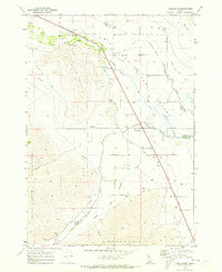
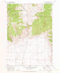
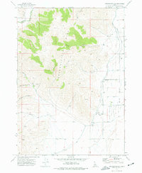
The Big Lost River Valley forms a broad, pastoral floor for this high-altitude landscape, where the Big Lost River meanders through the northeast corner of the sheet. This transition from valley floor to the soaring heights of the Knob Mountains and White Mountains is marked by numerous deep drainages such as Big Blind Canyon and Bedy Canyon. The area shows a history of land use centered on water sources and resource extraction, with multiple prospects, a Quarry, and several springs namesake to local families or uses, including Slaughterhouse Springs and Fallini Spring.
Find a feature on this map
34 named features on this map. Tap any name to fly to it.
Don’t see what you’re looking for? This feature index may not catch every label — zoom into the map to look around manually.
Map Details
Editions of this 1991 Big Blind Canyon Map
This is the sole edition of this map. No revisions or reprints were ever made.
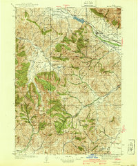
Other maps of this area

1935 · MacKay
USGS Topo · 1:96,000
1940 · Mackay
USGS Topo · 1:62,500

1955 · Idaho Falls
USGS Topo · 1:250,000

1958 · Idaho Falls
USGS Topo · 1:250,000
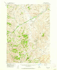
1960 · Grouse
USGS Topo · 1:62,500
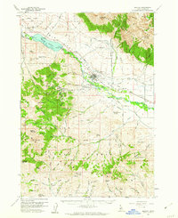
1960 · Mackay
USGS Topo · 1:62,500
1969 · Darlington
USGS Topo · 1:24,000
1969 · Methodist Creek
USGS Topo · 1:24,000
1972 · Appendicitis Hill
USGS Topo · 1:24,000
1988 · Arco
USGS Topo · 1:100,000