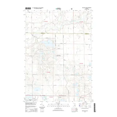
2014 Map of Big Blue Lake
USGS Topo · Published 2014About this map
Manistee National Forest encompasses much of this West Michigan landscape, where a dense network of glacial lakes and waterways defines the local geography. The White River and its South Branch cut through the northern portion of the quadrangle, while the southern half is punctuated by numerous named bodies of water, including the large Big Blue Lake and the village of Lakewood Club. The map reveals a transition from the structured street grid of the Lakewood Club settlement to the more winding forest roads like Owassippi Rd. Genealogists and local historians can locate the Blue Lake Cem and Wave Cem, providing specific points of interest for family research. This documentation of the Muskegon and Oceana border area illustrates the persistent relationship between the region's recreational lake communities and its protected timberlands.
Find a feature on this map
71 named features on this map. Tap any name to fly to it.
Don’t see what you’re looking for? This feature index may not catch every label — zoom into the map to look around manually.
Map Details
Editions of this 2014 Big Blue Lake Map
This is the sole edition of this map. No revisions or reprints were ever made.
Other maps of this area

1929 · Montague
USGS Topo · 1:48,000

1931 · Hart SE
USGS Topo · 1:31,680

1931 · Walkerville SW
USGS Topo · 1:31,680

1931 · Walkerville SE
USGS Topo · 1:31,680

1954 · Milwaukee
USGS Topo · 1:250,000

1958 · Milwaukee
USGS Topo · 1:250,000

1958 · Hesperia
USGS Topo · 1:62,500

1958 · Twin Lake
USGS Topo · 1:62,500

1959 · Montague
USGS Topo · 1:62,500

1959 · Hart
USGS Topo · 1:62,500
Featured Places
- Lakewood Club, MI
- Otto Township, MI
- Greenwood Township, MI
- Lakewood, Lakewood Club
- Cedar Creek Township, MI