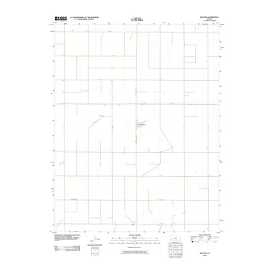
2010 Map of Big Bow
USGS Topo · Published 2010About this map
Big Bow serves as the central hub of this agricultural landscape in Grant County, where the section-line road grid meets the winding path of Sand Arroyo Creek. The settlement's orientation is defined by the intersection of 4th Ave and the primary north-south corridor known as N Big Bow Grade and S Big Bow Grade. This 2010 survey reflects a strictly organized rural economy, with expansive farmland subdivided by a systematic road network including E Rd 12 and S Rd D. The topography is notably level, characteristic of the High Plains, with the only significant natural relief appearing along the subtle drainage of the creek in the southern portion of the quadrangle.
Find a feature on this map
20 named features on this map. Tap any name to fly to it.
Don’t see what you’re looking for? This feature index may not catch every label — zoom into the map to look around manually.
Map Details
Editions of this 2010 Big Bow Map
This is the sole edition of this map. No revisions or reprints were ever made.
Other maps of this area

1891 · Larned
USGS Topo · 1:125,000

1900 · Syracuse
USGS Topo · 1:125,000

1900 · Lakin
USGS Topo · 1:125,000

1920 · Syracuse
USGS Topo · 1:125,000

1955 · Dodge City
USGS Topo · 1:250,000

1958 · Dodge City
USGS Topo · 1:250,000

1959 · Dodge City
USGS Topo · 1:250,000

1959 · Ulysses NW
USGS Topo · 1:24,000

1959 · Big Bow NE
USGS Topo · 1:24,000

1959 · Big Bow NW
USGS Topo · 1:24,000