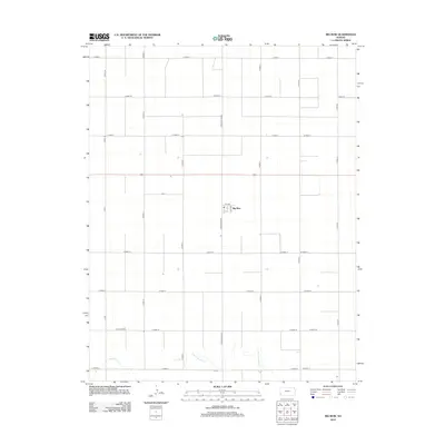
2012 Map of Big Bow
USGS Topo · Published 2012About this map
Big Bow serves as the central focal point of this high-plains landscape in Grant County, Kansas. The map documents a rigid grid of section-line roads, such as N Big Bow Grade and S Big Bow Grade, which define the agricultural development of Sherman Township. At the heart of the settlement, a small concentration of structures appears along 1st Ave and 4th Ave. This systematic organization of the land is only interrupted in the south by the winding course of Sand Arroyo Cr. The watercourse provides the only natural variance in a terrain otherwise dominated by the vast, open spaces of the Kansas prairie and its established rural road network.
Find a feature on this map
30 named features on this map. Tap any name to fly to it.
Don’t see what you’re looking for? This feature index may not catch every label — zoom into the map to look around manually.
Map Details
Editions of this 2012 Big Bow Map
This is the sole edition of this map. No revisions or reprints were ever made.
Other maps of this area

1891 · Larned
USGS Topo · 1:125,000

1900 · Syracuse
USGS Topo · 1:125,000

1900 · Lakin
USGS Topo · 1:125,000

1920 · Syracuse
USGS Topo · 1:125,000

1955 · Dodge City
USGS Topo · 1:250,000

1958 · Dodge City
USGS Topo · 1:250,000

1959 · Dodge City
USGS Topo · 1:250,000

1959 · Ulysses NW
USGS Topo · 1:24,000

1959 · Big Bow NE
USGS Topo · 1:24,000

1959 · Big Bow NW
USGS Topo · 1:24,000