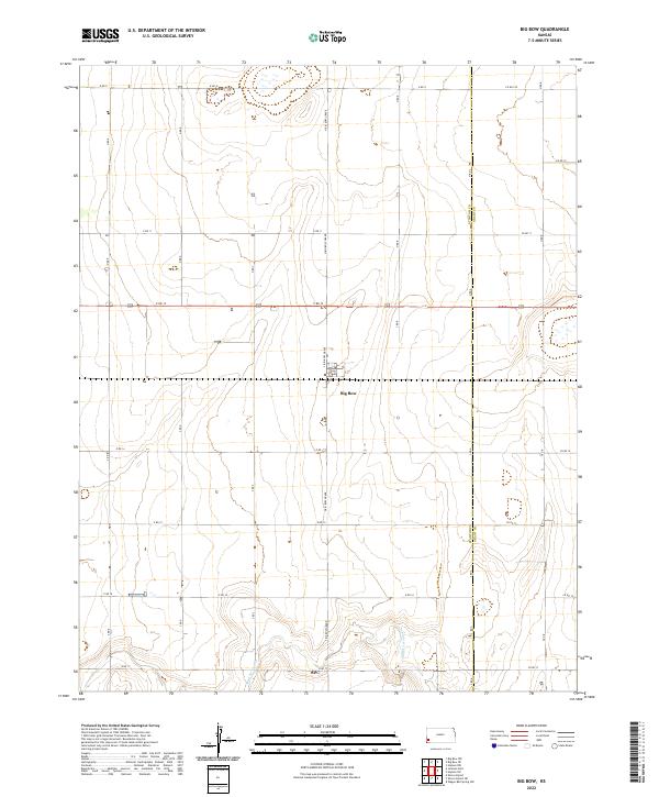
2022 Map of Big Bow
USGS Topo · Published 2022About this map
Big Bow serves as the central focal point for this section of Southwest Kansas, situated along the border of Stanton Co and Grant Co. The landscape is defined by the rectilinear precision of the Public Land Survey System, with a dense network of section roads such as N Big Bow Grade and E Rd 12 facilitating the region's agricultural economy. This 2022 survey illustrates the modern configuration of these rural transit corridors, including US Route 160 crossing the quadrangle. The southern portion of the map is marked by the meandering path of Sand Arroyo Cr, which introduces natural drainage patterns to an otherwise strictly gridded terrain. The proximity of the county line and the concentrated infrastructure near the main settlement reflect the area's ongoing role as a rural hub for the surrounding plains.
Find a feature on this map
34 named features on this map. Tap any name to fly to it.
Don’t see what you’re looking for? This feature index may not catch every label — zoom into the map to look around manually.
Map Details
Editions of this 2022 Big Bow Map
This is the sole edition of this map. No revisions or reprints were ever made.
Other maps of this area

1891 · Larned
USGS Topo · 1:125,000

1900 · Syracuse
USGS Topo · 1:125,000

1900 · Lakin
USGS Topo · 1:125,000

1920 · Syracuse
USGS Topo · 1:125,000

1955 · Dodge City
USGS Topo · 1:250,000

1958 · Dodge City
USGS Topo · 1:250,000

1959 · Dodge City
USGS Topo · 1:250,000

1959 · Ulysses NW
USGS Topo · 1:24,000

1959 · Big Bow NE
USGS Topo · 1:24,000

1959 · Big Bow NW
USGS Topo · 1:24,000