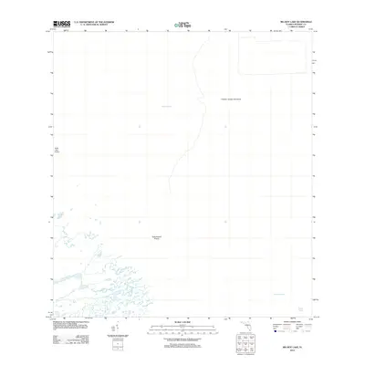
2012 Map of Big Boy Lake
USGS Topo · Published 2012About this map
Charley Jumper Hammock stands as a prominent terrain feature in this wetland landscape, located in the northern portion of the quadrangle. The area is defined by an intricate network of waterways and low-lying prairies typical of the South Florida ecosystem. Big Boy Lake serves as a central hydrological point, connecting to a complex system of sloughs including Lostmans Slough and Dixons Slough in the southeast. The transition between water and land is marked by distinct environmental zones like Buttonwood Prairie and Gator Bay Prairie, showing the natural drainage patterns of Gum Slough and the tidal influence near Lostmans Five. This 2012 survey provides a detailed view of these named landmarks before subsequent environmental shifts, preserving the specific nomenclature used by local residents and researchers to navigate this roadless coastal wilderness.
Find a feature on this map
8 named features on this map. Tap any name to fly to it.
Don’t see what you’re looking for? This feature index may not catch every label — zoom into the map to look around manually.
Map Details
Editions of this 2012 Big Boy Lake Map
This is the sole edition of this map. No revisions or reprints were ever made.
Other maps of this area

1956 · Miami
USGS Topo · 1:250,000

1958 · Miami
USGS Topo · 1:250,000

1972 · Lostmans Trail
USGS Topo · 1:24,000

1972 · Big Boy Lake
USGS Topo · 1:24,000

1972 · Indian Camp Creek
USGS Topo · 1:24,000

1973 · Gator Hook Swamp
USGS Topo · 1:24,000

1973 · Fiftymile Bend
USGS Topo · 1:24,000

1973 · Monroe Station
USGS Topo · 1:24,000

1973 · Big Lostmans Bay
USGS Topo · 1:24,000

1973 · Lostmans River Ranger Station
USGS Topo · 1:24,000