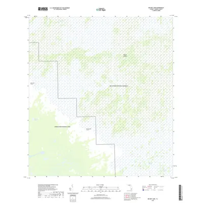
2018 Map of Big Boy Lake
USGS Topo · Published 2018About this map
Everglades National Park and Big Cypress National Preserve converge in this detailed look at a remote Florida wetland complex. The terrain is defined by distinct hydrological and vegetative zones, including the Six-Walker Strand and the elevated ground of Charley Jumper Hammock. These features illustrate the subtle elevation changes that dictate the movement of water across the landscape, feeding into systems like Gum Slough and the expansive Gator Bay Prairie.
Find a feature on this map
10 named features on this map. Tap any name to fly to it.
Don’t see what you’re looking for? This feature index may not catch every label — zoom into the map to look around manually.
Map Details
Editions of this 2018 Big Boy Lake Map
This is the sole edition of this map. No revisions or reprints were ever made.
Other maps of this area

1956 · Miami
USGS Topo · 1:250,000

1958 · Miami
USGS Topo · 1:250,000

1972 · Lostmans Trail
USGS Topo · 1:24,000

1972 · Big Boy Lake
USGS Topo · 1:24,000

1972 · Indian Camp Creek
USGS Topo · 1:24,000

1973 · Gator Hook Swamp
USGS Topo · 1:24,000

1973 · Fiftymile Bend
USGS Topo · 1:24,000

1973 · Monroe Station
USGS Topo · 1:24,000

1973 · Big Lostmans Bay
USGS Topo · 1:24,000

1973 · Lostmans River Ranger Station
USGS Topo · 1:24,000