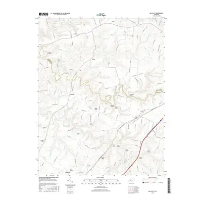
1972 Map of Big Clifty
USGS Topo · Published 1973About this map
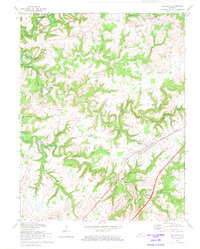
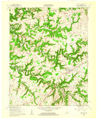
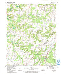
Big Clifty and West Clifty serve as the primary anchors of this central Kentucky landscape, where the deeply incised valleys of Rough River Lake and Clifty Creek create a complex topography of ridges and hollows. The Illinois Central railroad cuts through the southern portion of the terrain, providing a vital transportation corridor through the Grayson and Hardin county line area. The map reveals a dispersed settlement pattern typical of the region, featuring several country schools like Goodman Sch and Western Consolidated Sch, alongside numerous family and church burial grounds including St Pauls Cem and Pleasant Grove Ch Cem. Geologic and industrial interests are marked by the presence of Mines near Saint Paul, while the winding courses of Meeting Creek and Little Meeting Creek define the drainage of the northern uplands. The presence of a Landing Strip near the Central Illinois Western Toll Road reflects the mid-century modernization of local infrastructure.
Find a feature on this map
45 named features on this map. Tap any name to fly to it.
Don’t see what you’re looking for? This feature index may not catch every label — zoom into the map to look around manually.
Map Details
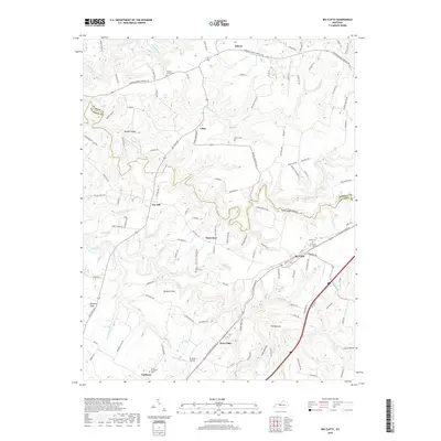
Editions of this 1972 Big Clifty Map
This is the sole edition of this map. No revisions or reprints were ever made.
Historical Maps of Clarkson Through Time
11 maps found
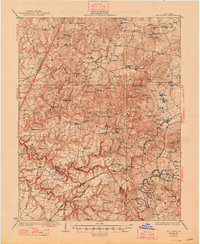
1932 Big Clifty
Grayson County, KY
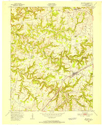
1949 Big Clifty
Grayson County, KY
1949 Big Clifty
Grayson County, KY
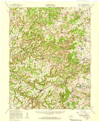
1960 Big Clifty
Grayson County, KY
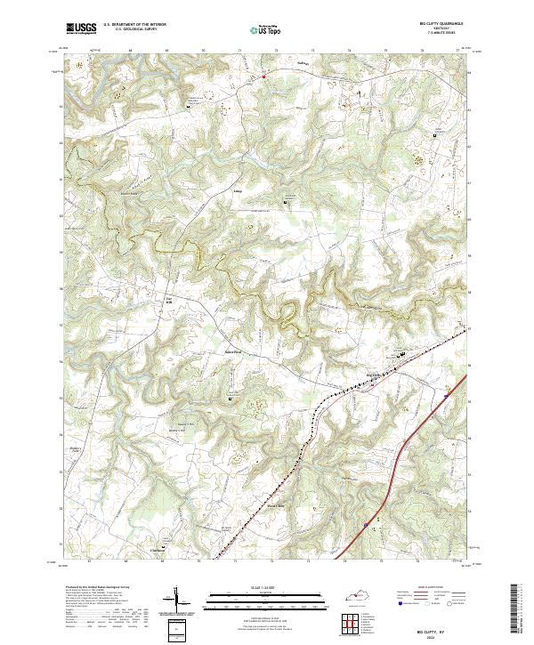
1972 Big Clifty
Grayson County, KY
1991 Big Clifty
Grayson County, KY
2010 Big Clifty
Grayson County, KY
2013 Big Clifty
Grayson County, KY
2016 Big Clifty
Grayson County, KY
2019 Big Clifty
Grayson County, KY
2022 Big Clifty
Grayson County, KY