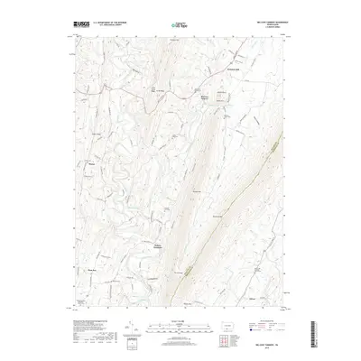
2019 Map of Big Cove Tannery
USGS Topo · Published 2019About this map
Big Cove Creek and Lick Run carve through the deep ridges of Fulton County, shaping a landscape defined by long-standing mountain gaps and narrow agricultural valleys. This 2019 survey captures the area around Big Cove Tannery and Websters Mill, where the local economy was historically tied to the water power and timber of the Appalachian front. The rugged alignment of Dickeys Mtn and Tuscarora Mtn creates natural barriers, with the Tuscarora Trail winding through the high ground. For genealogists, the map is a dense record of rural burial grounds and congregations, from the Saint Pauls Lutheran Cem to the Simpson Farm Cem and Rehobeth United Methodist Church Cem. The settlement pattern at Sharpe and Plum Run remains anchored to the gaps, while landmarks like Indian Chair and Chestnut Flat highlight the traditional nomenclature of the ridge-and-valley province.
Find a feature on this map
89 named features on this map. Tap any name to fly to it.
Don’t see what you’re looking for? This feature index may not catch every label — zoom into the map to look around manually.
Map Details
Editions of this 2019 Big Cove Tannery Map
This is the sole edition of this map. No revisions or reprints were ever made.
Other maps of this area

1899 · Hancock
USGS Topo · 1:62,500

1900 · Mercersburg
USGS Topo · 1:62,500

1901 · Hancock
USGS Topo · 1:62,500

1902 · Mercersburg
USGS Topo · 1:62,500

1912 · Williamsport
USGS Topo · 1:62,500

1925 · Needmore
USGS Topo · 1:48,000

1935 · Needmore
USGS Topo · 1:62,500

1939 · Needmore
USGS Topo · 1:62,500

1942 · Hagerstown
USGS Topo · 1:125,000

1943 · Hagerstown
USGS Topo · 1:125,000
Featured Places
- Ayr Township, PA
- Warren Township, PA
- Sylvan, Warren Township
- Sharpe, Thompson Township
- Websters Mill, Ayr Township