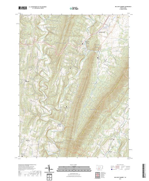
2023 Map of Big Cove Tannery
USGS Topo · Published 2023About this map
Big Cove Tannery sits at the heart of this landscape, where the waters of Big Cove Creek flow through the narrow valley floor. The geography is defined by parallel ridges, with Scrub Ridge and Little Scrub Ridge to the west and the prominent Tuscarora Mountain rising to the east. This 2023 survey illustrates the enduring rural character of Fulton and Franklin counties, showing small settlements like Websters Mill and Plum Run connected by a network of winding roads like Great Cove Rd.
Find a feature on this map
84 named features on this map. Tap any name to fly to it.
Don’t see what you’re looking for? This feature index may not catch every label — zoom into the map to look around manually.
Map Details
Editions of this 2023 Big Cove Tannery Map
This is the sole edition of this map. No revisions or reprints were ever made.
Other maps of this area

1899 · Hancock
USGS Topo · 1:62,500

1900 · Mercersburg
USGS Topo · 1:62,500

1901 · Hancock
USGS Topo · 1:62,500

1902 · Mercersburg
USGS Topo · 1:62,500

1912 · Williamsport
USGS Topo · 1:62,500

1925 · Needmore
USGS Topo · 1:48,000

1935 · Needmore
USGS Topo · 1:62,500

1939 · Needmore
USGS Topo · 1:62,500

1942 · Hagerstown
USGS Topo · 1:125,000

1943 · Hagerstown
USGS Topo · 1:125,000
Featured Places
- Ayr Township, PA
- Belfast Township, PA
- Sylvan, Warren Township
- Dickeys Mountain, Thompson Township
- Sharpe, Thompson Township