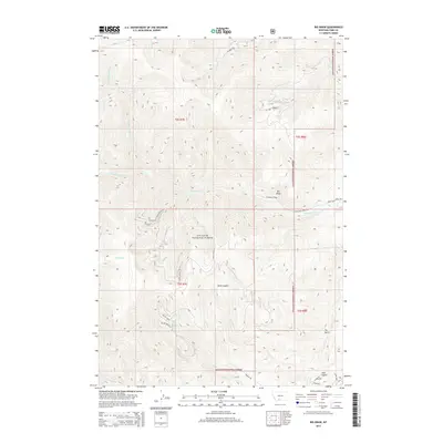
2014 Map of Big Draw
USGS Topo · Published 2014About this map
Gallatin National Forest encompasses the high country of this Montana landscape, where steep drainages and prominent peaks define the topography. The terrain is deeply incised by a network of seasonal and permanent waterways, including the upper reaches of Eightmile Cr, Miller Cr, and Fridley Cr. A distinctive topographic landmark known as Point Stupid stands between the headwaters of Pole Gulch and Miller Cr, illustrating the localized, often descriptive naming conventions used by early surveyors and residents in the region.
Find a feature on this map
28 named features on this map. Tap any name to fly to it.
Don’t see what you’re looking for? This feature index may not catch every label — zoom into the map to look around manually.
Map Details
Editions of this 2014 Big Draw Map
This is the sole edition of this map. No revisions or reprints were ever made.
Other maps of this area

1891 · Livingston
USGS Topo · 1:250,000

1893 · Livingston
USGS Topo · 1:250,000

1947 · Bozeman
USGS Topo · 1:250,000

1948 · Bozeman
USGS Topo · 1:250,000

1951 · Bozeman Pass
USGS Topo · 1:62,500

1951 · Chimney Rock
USGS Topo · 1:24,000

1955 · Bozeman
USGS Topo · 1:250,000

1955 · Emigrant
USGS Topo · 1:62,500

1955 · Fridley Peak
USGS Topo · 1:62,500

1958 · Bozeman
USGS Topo · 1:250,000