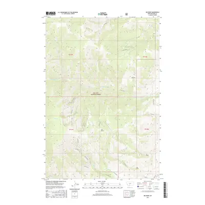
2017 Map of Big Draw
USGS Topo · Published 2017About this map
Gallatin National Forest dominates this mountain landscape, which is defined by a dense network of drainage systems feeding into the Eightmile Creek and Fridley Creek basins. The topography is marked by significant elevation changes, with named drainages and landforms such as Big Draw and the uniquely titled Point Stupid providing key navigational points for those traversing the backcountry. In the southeastern corner, more modern development appears in the form of residential connectors like Gemini Road and Orion Way near the mouth of Tie Gulch. Numerous branches of Pole Gulch and Miller Creek slice through the central terrain, illustrating the complex hydrology of this high-elevation region. The survey also captures isolated water features like Mud Lake and the upper reaches of Pine Creek, reflecting the area's role as a vital watershed within the National Forest system.
Find a feature on this map
33 named features on this map. Tap any name to fly to it.
Don’t see what you’re looking for? This feature index may not catch every label — zoom into the map to look around manually.
Map Details
Editions of this 2017 Big Draw Map
This is the sole edition of this map. No revisions or reprints were ever made.
Other maps of this area

1891 · Livingston
USGS Topo · 1:250,000

1893 · Livingston
USGS Topo · 1:250,000

1947 · Bozeman
USGS Topo · 1:250,000

1948 · Bozeman
USGS Topo · 1:250,000

1951 · Bozeman Pass
USGS Topo · 1:62,500

1951 · Chimney Rock
USGS Topo · 1:24,000

1955 · Bozeman
USGS Topo · 1:250,000

1955 · Emigrant
USGS Topo · 1:62,500

1955 · Fridley Peak
USGS Topo · 1:62,500

1958 · Bozeman
USGS Topo · 1:250,000