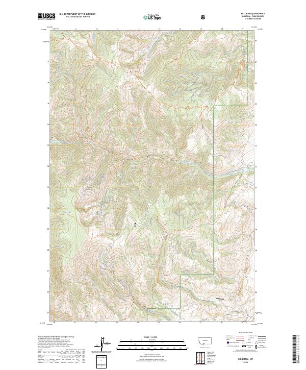
2024 Map of Big Draw
USGS Topo · Published 2024About this map
Gallatin National Forest dominates this section of Park County, where the high mountain terrain is deeply incised by a network of gulches and drainages. The settlement of Emigrant sits at the base of these slopes, serving as a gateway to the high country. The landscape is defined by the convergence of several major water systems, including Eightmile Creek and the intricate Miller Creek drainage system, which includes branches labeled Miller Creek A through Miller Creek E.
Find a feature on this map
40 named features on this map. Tap any name to fly to it.
Don’t see what you’re looking for? This feature index may not catch every label — zoom into the map to look around manually.
Map Details
Editions of this 2024 Big Draw Map
This is the sole edition of this map. No revisions or reprints were ever made.
Other maps of this area

1891 · Livingston
USGS Topo · 1:250,000

1893 · Livingston
USGS Topo · 1:250,000

1947 · Bozeman
USGS Topo · 1:250,000

1948 · Bozeman
USGS Topo · 1:250,000

1951 · Bozeman Pass
USGS Topo · 1:62,500

1951 · Chimney Rock
USGS Topo · 1:24,000

1955 · Bozeman
USGS Topo · 1:250,000

1955 · Emigrant
USGS Topo · 1:62,500

1955 · Fridley Peak
USGS Topo · 1:62,500

1958 · Bozeman
USGS Topo · 1:250,000