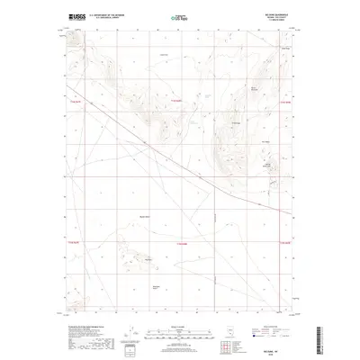
2018 Map of Big Dune
USGS Topo · Published 2018About this map
Big Dune dominates the southern landscape of this terrain, rising from the transition between the Mojave Desert and the Amargosa Desert. This 2018 survey by the U.S. Geological Survey details a region defined by dramatic geologic formations and arid watercourses, including the Amargosa River and the ephemeral Solitario Wash. To the northeast, the volcanic topography of Lathrop Wells Cone and the southern reaches of Yucca Mountain provide a stark contrast to the surrounding flats. Human activity is localized along corridors such as Quarry Rd and Valley View Rd, while features like Tilted Ridge and Crater Flat showcase the complex faulting and ridgelines characteristic of this section of Nye County.
Find a feature on this map
21 named features on this map. Tap any name to fly to it.
Don’t see what you’re looking for? This feature index may not catch every label — zoom into the map to look around manually.
Map Details
Editions of this 2018 Big Dune Map
This is the sole edition of this map. No revisions or reprints were ever made.
Other maps of this area

1908 · Furnace Creek
USGS Topo · 1:250,000

1910 · Furnace Creek
USGS Topo · 1:250,000

1942 · Skull Mountain
USGS Topo · 1:125,000

1942 · Bullfrog
USGS Topo · 1:125,000

1948 · Death Valley
USGS Topo · 1:250,000

1952 · Topopah Spring
USGS Topo · 1:62,500

1952 · Big Dune
USGS Topo · 1:62,500

1954 · Bare Mtn
USGS Topo · 1:62,500

1954 · Death Valley
USGS Topo · 1:250,000

1956 · Death Valley
USGS Topo · 1:250,000