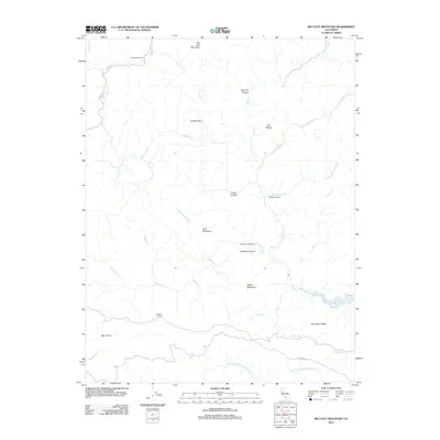
2012 Map of Big Foot Mountain
USGS Topo · Published 2012About this map
Big Foot Mountain and the Elk Range anchor this 2012 survey of the Sonoma County backcountry. The landscape is defined by its network of steep canyons and naming traditions tied to early ranching operations, such as Diamond D Ranch in the north and Rockpile Ranch along the southern border. Drainage from the Buckeye Cr and Galloway Cr systems flows toward the Wheatfield Fork Gualala River, while the southeastern corner is dominated by the reservoir waters of Lake Sonoma.
Find a feature on this map
30 named features on this map. Tap any name to fly to it.
Don’t see what you’re looking for? This feature index may not catch every label — zoom into the map to look around manually.
Map Details
Editions of this 2012 Big Foot Mountain Map
This is the sole edition of this map. No revisions or reprints were ever made.
Other maps of this area

1921 · Skaggs
USGS Topo · 1:62,500

1921 · Plantation
USGS Topo · 1:62,500

1938 · Hopland
USGS Topo · 1:62,500

1943 · Tombs Creek
USGS Topo · 1:24,000

1943 · Annapolis
USGS Topo · 1:24,000

1943 · Skaggs Springs
USGS Topo · 1:24,000

1943 · Hopland
USGS Topo · 1:62,500

1943 · Ornbaun
USGS Topo · 1:62,500

1944 · Annapolis
USGS Topo · 1:31,680

1944 · Skaggs Springs
USGS Topo · 1:31,680