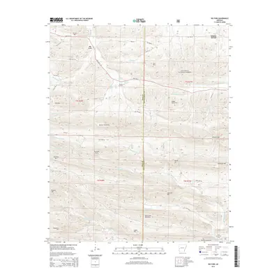
2014 Map of Big Fork
USGS Topo · Published 2014About this map
The Ouachita National Forest dominates this landscape, where the Polk and Montgomery county line weaves through a complex system of ridges and river headwaters. Settlement is concentrated along the northern corridor of State Hwy 8, notably at Big Fork and Sulphur Springs. These small communities serve as gateways to the high country of the Missouri Mountains and the Caddo Mountains, where names like Hurricane Knob and Lick Mtn mark the high points of the Ouachita range. For genealogists and local historians, the presence of the Pleasant Grove Cem near Abernathy Spring and the Rock Springs Cem in the southeast corner provides specific points of ancestral interest. The map documents the intricate drainage patterns that define the region, from the Caddo River in the north to the Little Missouri River and its numerous tributaries like Straight Cr and Crooked Cr in the south.
Find a feature on this map
56 named features on this map. Tap any name to fly to it.
Don’t see what you’re looking for? This feature index may not catch every label — zoom into the map to look around manually.
Map Details
Editions of this 2014 Big Fork Map
This is the sole edition of this map. No revisions or reprints were ever made.
Other maps of this area

1890 · Mount Ida
USGS Topo · 1:125,000

1890 · Poteau Mountain
USGS Topo · 1:125,000

1899 · Poteau Mountain
USGS Topo · 1:125,000

1906 · Caddo Gap
USGS Topo · 1:125,000

1913 · De Queen
USGS Topo · 1:125,000

1936 · Athens
USGS Topo · 1:48,000

1942 · Athens
USGS Topo · 1:62,500

1950 · Mcalester
USGS Topo · 1:250,000

1955 · Little Rock
USGS Topo · 1:250,000

1956 · Little Rock
USGS Topo · 1:250,000