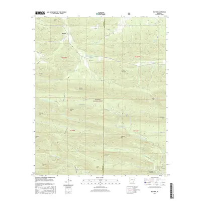
2017 Map of Big Fork
USGS Topo · Published 2017About this map
Big Fork sits at the junction of State Hwy 8 and Big Fork Rd, serving as a gateway to the high ridgelines of the Ouachita National Forest. This terrain is defined by parallel mountain ranges, including the Caddo Mountains and the Cossatot Mountains, which dictate the drainage patterns of the upper Caddo River and the Little Missouri River. Local genealogy is anchored by the Pleasant Grove Cem and named natural landmarks such as Alpine Spring and Abernathy Spring. The map details a complex network of forest routes like Athens Big Fork N and Mine Creek Rd, which provide access to the deep interior of the Brier Creek Mountains. Notable peaks and passes such as Hurricane Knob, Mosquito Gap, and Statehouse Mtn illustrate the relief of a landscape largely protected from heavy development by its inclusion in the national forest system.
Find a feature on this map
58 named features on this map. Tap any name to fly to it.
Don’t see what you’re looking for? This feature index may not catch every label — zoom into the map to look around manually.
Map Details
Editions of this 2017 Big Fork Map
This is the sole edition of this map. No revisions or reprints were ever made.
Other maps of this area

1890 · Mount Ida
USGS Topo · 1:125,000

1890 · Poteau Mountain
USGS Topo · 1:125,000

1899 · Poteau Mountain
USGS Topo · 1:125,000

1906 · Caddo Gap
USGS Topo · 1:125,000

1913 · De Queen
USGS Topo · 1:125,000

1936 · Athens
USGS Topo · 1:48,000

1942 · Athens
USGS Topo · 1:62,500

1950 · Mcalester
USGS Topo · 1:250,000

1955 · Little Rock
USGS Topo · 1:250,000

1956 · Little Rock
USGS Topo · 1:250,000