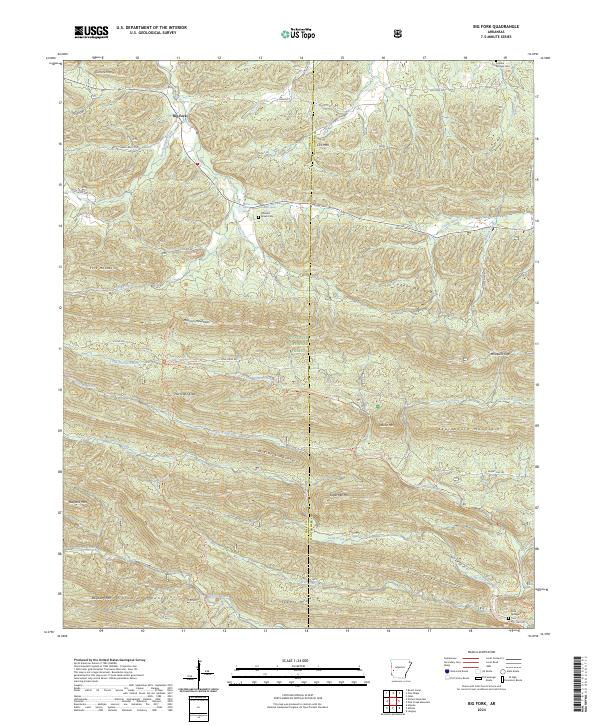
2024 Map of Big Fork
USGS Topo · Published 2024About this map
The settlement of Big Fork sits at the intersection of State Hwy 8 and Heath Valley Rd, serving as a gateway to the complex ridgelines of the Ouachita National Forest. This modern 2024 survey documents a landscape defined by the parallel folds of the Caddo Mountains and the Cossatot Mountains, where headwater streams like the Little Missouri River and Caddo River begin their descent. Small rural communities and homesteading sites are evident through landmarks like the Pleasant settlement and the Abernathy Spring. For those tracing local families, the map identifies several key burial sites including Grove Cem and Rock Springs Cem. The high-elevation terrain is marked by prominent peaks such as Missouri Mountains and Statehouse Mountain, alongside gaps like Mosquito Gap that historically facilitated passage through the dense forest.
Find a feature on this map
60 named features on this map. Tap any name to fly to it.
Don’t see what you’re looking for? This feature index may not catch every label — zoom into the map to look around manually.
Map Details
Editions of this 2024 Big Fork Map
This is the sole edition of this map. No revisions or reprints were ever made.
Other maps of this area

1890 · Mount Ida
USGS Topo · 1:125,000

1890 · Poteau Mountain
USGS Topo · 1:125,000

1899 · Poteau Mountain
USGS Topo · 1:125,000

1906 · Caddo Gap
USGS Topo · 1:125,000

1913 · De Queen
USGS Topo · 1:125,000

1936 · Athens
USGS Topo · 1:48,000

1942 · Athens
USGS Topo · 1:62,500

1950 · Mcalester
USGS Topo · 1:250,000

1955 · Little Rock
USGS Topo · 1:250,000

1956 · Little Rock
USGS Topo · 1:250,000