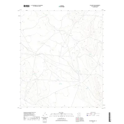
2019 Map of Big Heiser Tank
USGS Topo · Published 2019About this map
Water management in the arid landscape of Hudspeth County is the primary focus of this survey, which details a vast network of storage tanks and reservoirs essential for ranching and survival in West Texas. These named features, such as Big Heiser Tank and its smaller counterpart Little Heiser Tank, serve as vital landmarks and infrastructure in a region defined by its wide elevation changes. The naming conventions used for these water sources reflect the practical and evocative history of the area, ranging from wildlife references like Prairie Dog Tank to descriptive markers such as Wagon Wheel Tank and the ominous Dead Horse Tank. By tracing the placements of Johnson Tank and North Fourmile Tank, researchers can understand the logistical spacing of human and livestock resources across this high-desert terrain during the late 2010s.
Find a feature on this map
28 named features on this map. Tap any name to fly to it.
Don’t see what you’re looking for? This feature index may not catch every label — zoom into the map to look around manually.
Map Details
Editions of this 2019 Big Heiser Tank Map
This is the sole edition of this map. No revisions or reprints were ever made.
Other maps of this area

1903 · Cerro Alto
USGS Topo · 1:125,000

1940 · Bassett Lake
USGS Topo · 1:62,500

1941 · Heuco Mountains
USGS Topo · 1:62,500

1943 · San Antonio Mtn
USGS Topo · 1:62,500

1943 · Heuco Mountains
USGS Topo · 1:62,500

1943 · Bassett Lake
USGS Topo · 1:62,500

1954 · Carlsbad
USGS Topo · 1:250,000

1954 · Van Horn
USGS Topo · 1:250,000

1958 · Van Horn
USGS Topo · 1:250,000

1958 · Carlsbad
USGS Topo · 1:250,000