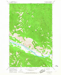
1964 Map of Big Hole Peak
USGS Topo · Published 1967About this map
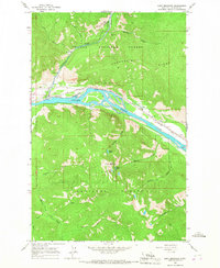
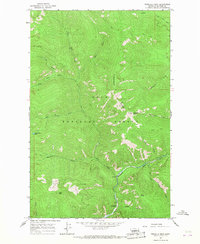
Lolo National Forest dominates this landscape, where the steep, timbered ridges of the northwestern Montana Rockies are carved by a dense network of drainages. The Clark Fork river serves as the primary corridor for regional movement, followed closely by the tracks of the Northern Pacific railroad. This transportation artery occupies the narrow valley floor below high points like Big Hole Peak, which towers over the surrounding terrain with its namesake lookout site.
Find a feature on this map
16 named features on this map. Tap any name to fly to it.
Don’t see what you’re looking for? This feature index may not catch every label — zoom into the map to look around manually.
Map Details
Editions of this 1964 Big Hole Peak Map
This is the sole edition of this map. No revisions or reprints were ever made.
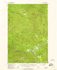
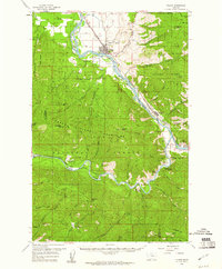
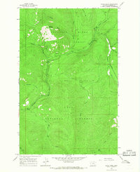
Other maps of this area

1918 · St Regis
USGS Topo · 1:125,000

1919 · St. Regis
USGS Topo · 1:125,000

1937 · Thompson Falls
USGS Topo · 1:125,000
1956 · St Regis
USGS Topo · 1:62,500

1956 · Wallace
USGS Topo · 1:250,000
1959 · Plains
USGS Topo · 1:62,500

1960 · Wallace
USGS Topo · 1:250,000
1964 · Calico Creek
USGS Topo · 1:24,000
1964 · Eddy Mountain
USGS Topo · 1:24,000
1964 · Priscilla Peak
USGS Topo · 1:24,000